
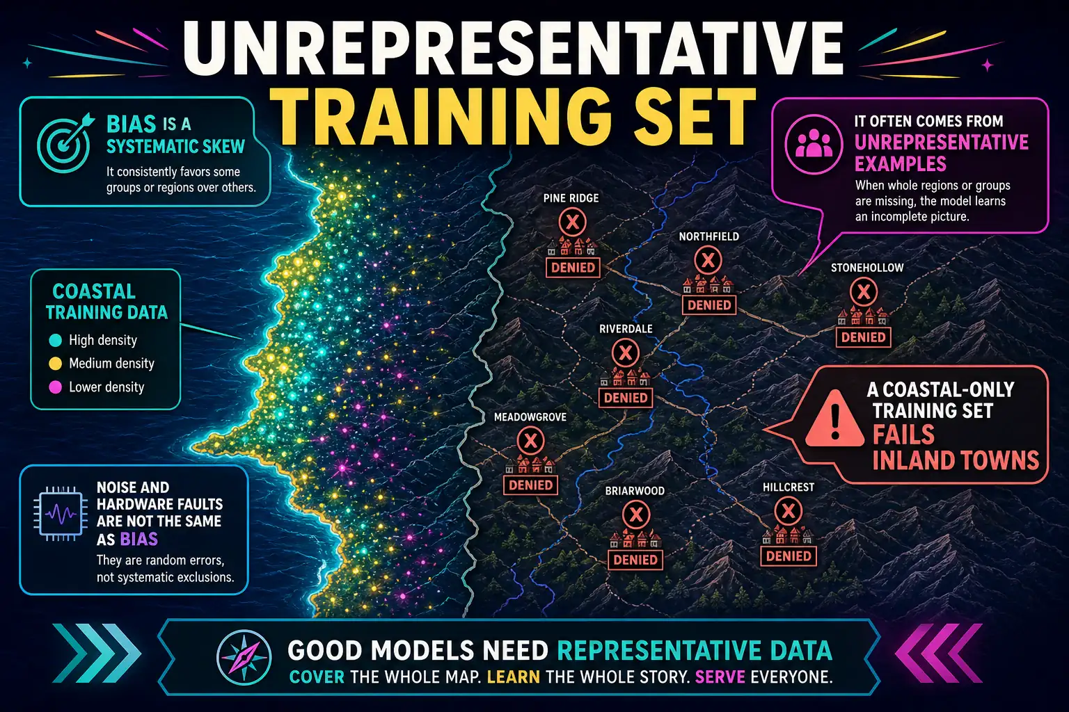
A flood-insurance screen was trained only on claims from one coastal county, then applied statewide, including inland river towns. Inland applications are denied at a much higher rate even when the stated loss facts match coastal ones. What problem does this describe?
Select an answer to reveal the explanation.
Short Explanation
Think of it like teaching a dog only on beach sand, then asking it to work a riverbank. The model learned one coastal county and then scored the whole state, so inland towns got a systematic no. That is bias from a skinny training set, not a noisy sensor or a dead GPU.
Full Explanation
Bias from an unrepresentative training set arises when the examples used to fit the model do not reflect the population where the model will be applied. Training only on one coastal county's claims and then scoring statewide inland river towns embeds coastal patterns into decisions for different flood regimes. Higher inland denial rates despite matching stated loss facts is a classic symptom of geographic and distribution shift bias, not random hardware failure.
Random sensor noise in scoring servers would inject erratic measurement error, not a systematic inland-versus-coastal denial gap. A failed GPU in the training cluster would typically stop or corrupt training jobs, not silently create a stable geographic disparity after deployment. Overfitting to the inference server's clock speed is nonsense as a fairness or generalization diagnosis—clock speed is not a training feature that explains unequal inland outcomes.
Exam caveat: when performance gaps align with a demographic, geographic, or process slice missing from training, prefer "bias / representation" over hardware distractors. Operational check: compare feature distributions and approval rates by county type (coastal vs inland), add representative inland labeled claims before statewide rollout, and monitor denial-rate deltas as a fairness and drift dashboard metric.