
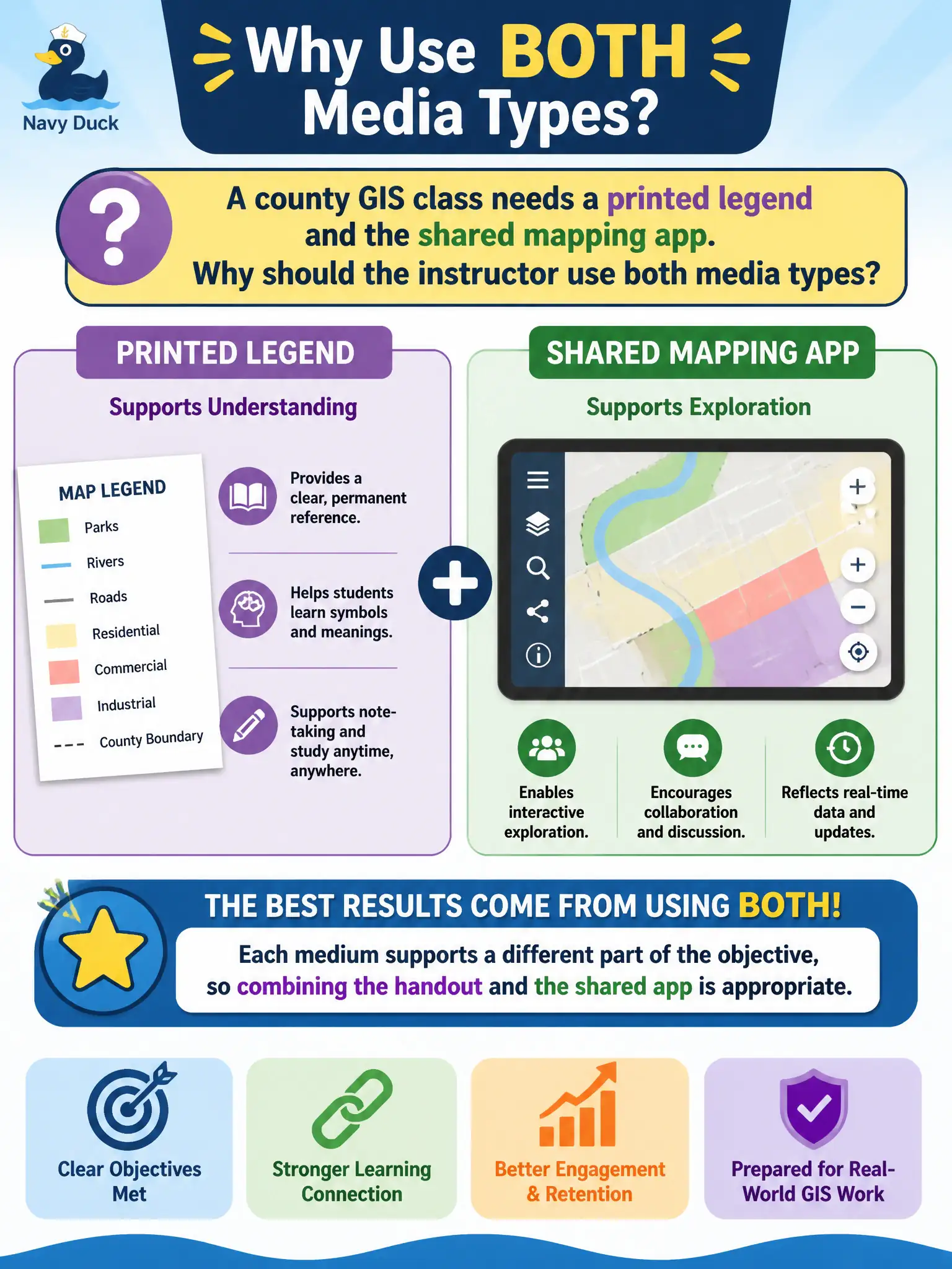
A county GIS class needs a printed legend and the shared mapping app. Why should the instructor use both media types?
Select an answer to reveal the explanation.
Short Explanation
A legend on paper is a map key in the hand; the shared app is the live geography. They are not rivals. Use both when each piece of the objective needs its own medium.
Full Explanation
Multiple media are appropriate when each supports a different part of the objective. A county GIS class that needs a printed legend and the shared mapping app should use both: the handout supports legend reading and field reference; the shared app supports interactive map practice. Declaring printed legends outdated so the app alone is always sufficient may leave learners without a durable reference during spotty connectivity. Claiming shared apps distract adults so only paper should be used rejects a medium that carries interactive objectives. Asserting that two media types violate original design even when both serve the objective misreads design fidelity. Exam caveat: CTT+ media selection is additive when each medium maps to objective elements. Operational check: hand out legends, open the shared app, assign tasks that require both, and confirm neither medium is ornamental. Legends and live maps teach different objective facets—decode versus manipulate. Using both is coherent media strategy. CTT+ allows multiple media when each earns its keep. Assign a paired task: interpret the printed legend, then execute the same layer toggle in the shared app to prove both media were necessary.