
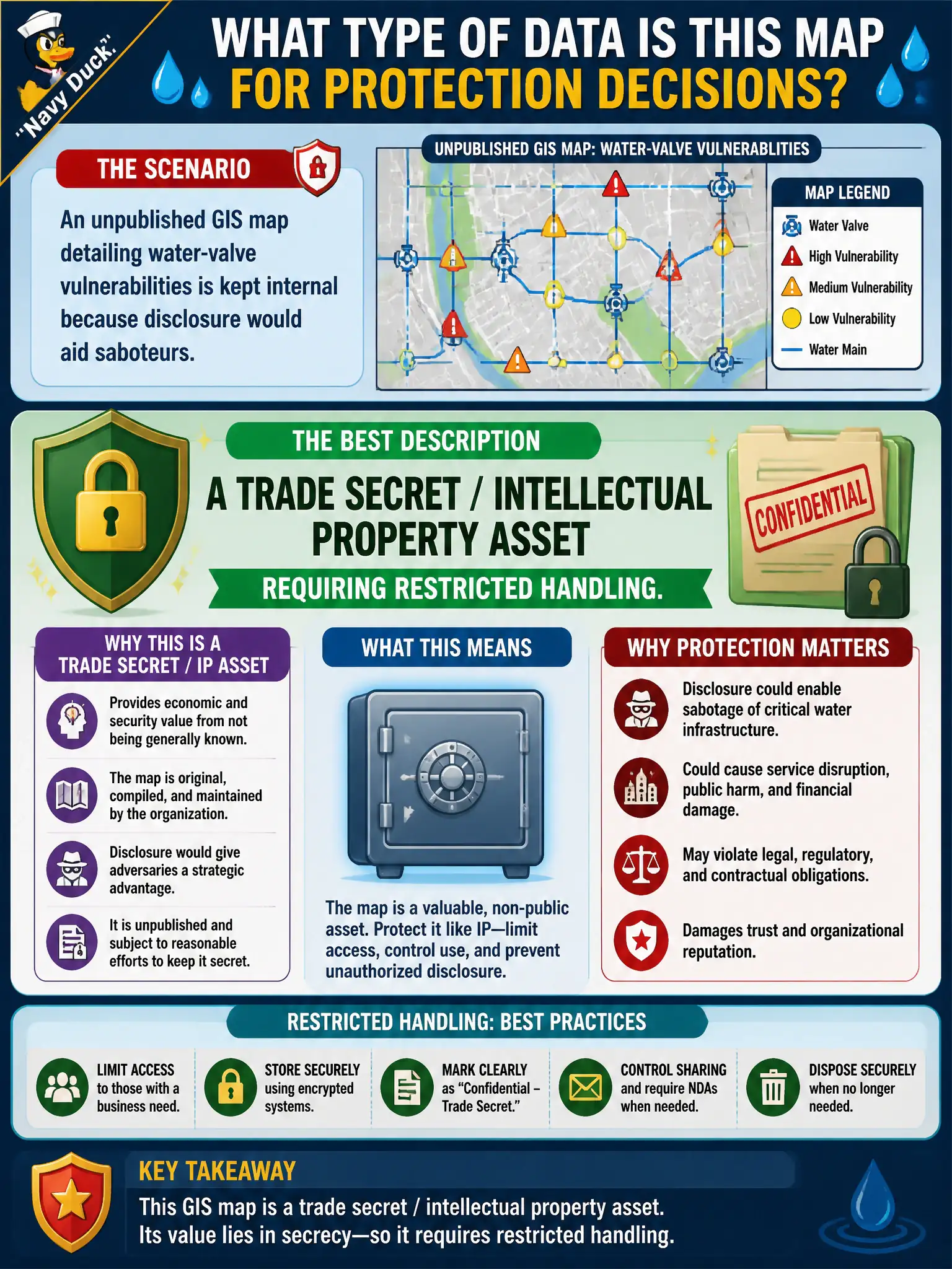
An unpublished GIS map detailing water-valve vulnerabilities is kept internal because disclosure would aid saboteurs. Which data type best describes that map for protection decisions?
Select an answer to reveal the explanation.
Short Explanation
That valve map is the city’s secret recipe for where a bad actor could hurt the water system—classic trade-secret territory. It is not picnic-flyer public data. Lock it down like IP that gives an advantage if stolen.
Full Explanation
Detailed maps of critical water-system valves and related infrastructure are intellectual property and operational secrets for a municipality. Disclosure enables sabotage, theft of service, or targeting of weak points. That places the asset in a trade-secret / IP category requiring restricted handling, need-to-know access, and controlled sharing with vetted contractors—not open publication.
Open-data mandates cover appropriate public datasets; they do not force release of critical infrastructure diagrams that create physical safety risk. Marketing collateral for social media is designed for unrestricted reach and is the wrong analogy. Calling the map disposable scratch paper ignores its lasting operational value to both defenders and adversaries.
Exam caveat: “public sector” does not equal “public data.” Classification must weigh safety, regulatory, and competitive/operational harm. Trade secret framing on the exam signals restricted handling even when a patent was never filed.
Operational check: store valve maps in restricted repositories, watermark and log downloads, require NDAs for external engineers, keep GIS layers for critical assets off public portals, and review any open-data catalog entries so infrastructure schematics were not published by mistake.