
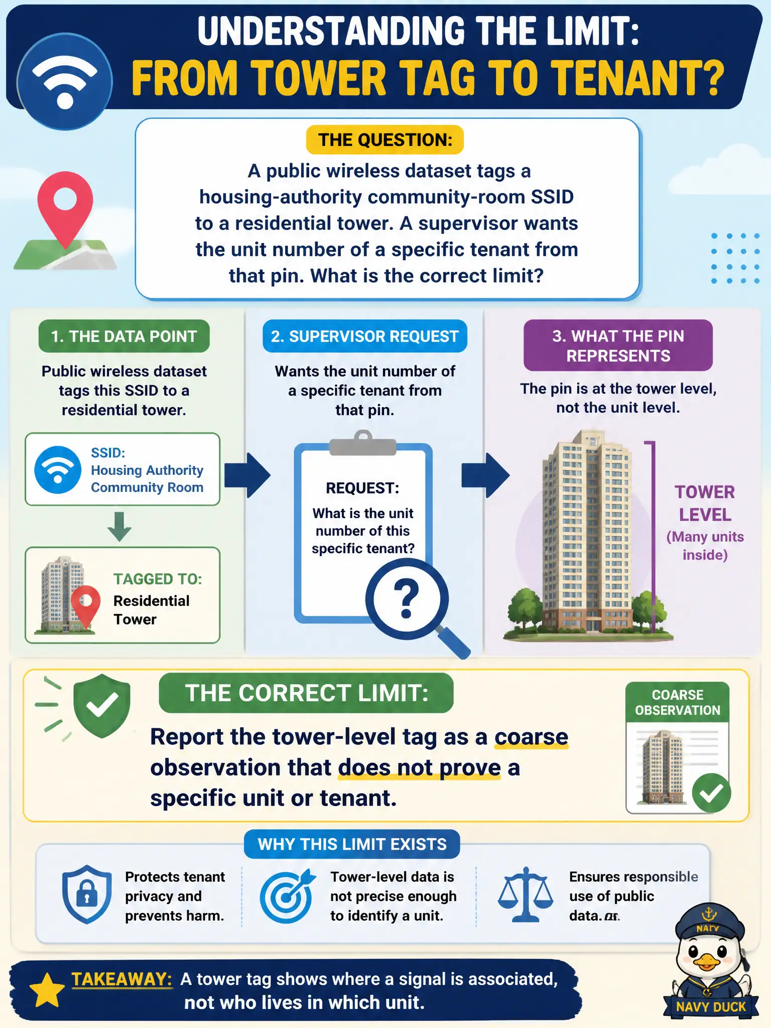
A public wireless dataset tags a housing-authority community-room SSID to a residential tower. A supervisor wants the unit number of a specific tenant from that pin. What is the correct limit?
Select an answer to reveal the explanation.
Short Explanation
A building-sized pin is not an apartment number. Public wireless maps are blunt instruments—they can put a community-room SSID on a tower, not on 12B. No parking-lot antennas and no door-knocking with a network name as a story.
Full Explanation
Public wireless maps are coarse. When a dataset tags a housing-authority community-room SSID to a residential tower, that pin supports a building- or parcel-level observation, not a unit number or named tenant. The correct limit is to report the tower-level tag as a coarse observation that does not prove a specific apartment or occupant, especially given housing privacy expectations in civic work.
Claiming the pin is precise enough to name an apartment and occupant over-attributes beyond the dataset's granularity. Trilaterating the BSSID with a directional antenna from the parking lot to obtain the unit is specialized RF localization, not PORP public-dataset OSINT. Knocking on doors using the SSID as a pretext to confirm residency is interactive deception outside open-source collection.
Exam caveat: even accurate tower tags can reflect community-room APs, guest networks, or neighboring coverage bleed; never escalate wording from building pin to named resident without independent public records that actually identify the person.
Operational check: cite the dataset, SSID, tower-level location, and vintage; state that unit/tenant attribution is not supported; and stop—without antennas or pretext door-knocks.