
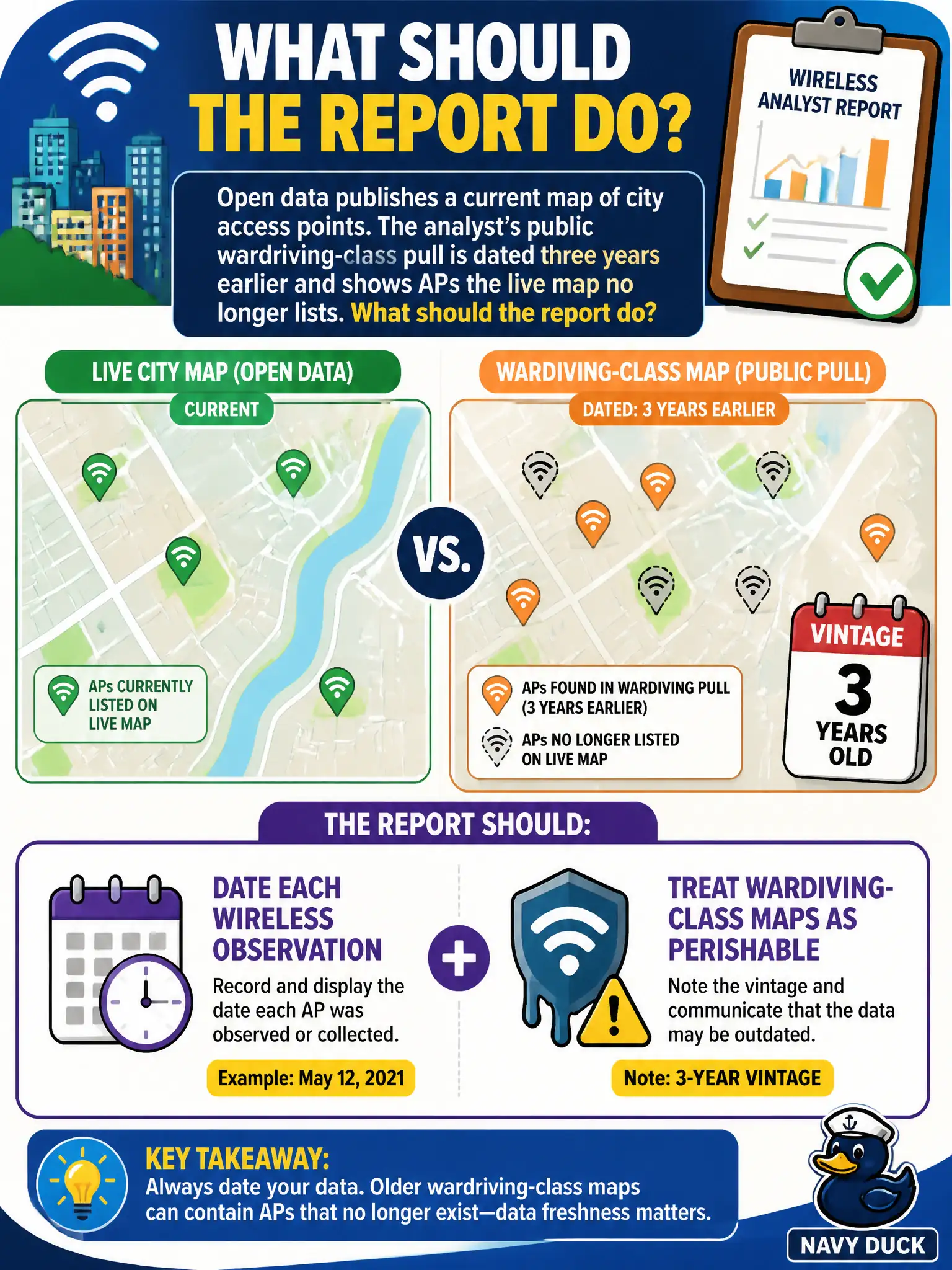
Open data publishes a current map of city access points. The analyst’s public wardriving-class pull is dated three years earlier and shows APs the live map no longer lists. What should the report do?
Select an answer to reveal the explanation.
Short Explanation
Wireless maps go stale like last year’s bus schedule. Stamp every pull with a date and say the wardriving dump is three years old. Blending maps into one undated picture hides the problem instead of reporting it.
Full Explanation
Public wireless datasets and civic open-data access-point maps both require vintage because APs move, rename, or retire. When open data publishes a current city AP map but the analyst's wardriving-class pull is three years older and still shows APs the live map no longer lists, the report must date each wireless observation, treat the older corpus as perishable, and explicitly note the three-year vintage so leaders do not treat undated layers as interchangeable truth.
Treating the older pull as more accurate because historical data never goes stale inverts evidence hygiene. Merging both maps without dates hides the conflict and presents undifferentiated inventory. Deleting the open-data map because OSINT may use only third-party corpora wrongly excludes official civic sources that are often the freshest public inventory.
Exam caveat: neither source is automatically authoritative alone; discrepancies can reflect decommissioning, map error, or visitor APs. Report age and provenance so IT can reconcile against internal asset lists.
Operational check: label each layer with source name and pull date, list APs present only in the three-year-old corpus as possibly stale, retain the current open-data map, and deliver the dated comparison to municipal IT.