
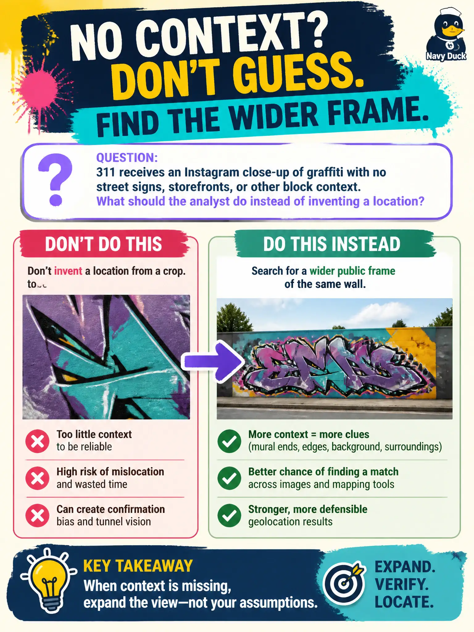
311 receives an Instagram close-up of graffiti with no street signs, storefronts, or other block context. What should the analyst do instead of inventing a location?
Select an answer to reveal the explanation.
Short Explanation
A tight crop is like a puzzle piece with the tablecloth cut away—you cannot name the room from one tile. Hunt a wider public post of the same wall instead of guessing the block. Bio city fields and location stickers are claims, not a street survey.
Full Explanation
When 311 receives an Instagram close-up of graffiti with no street signs, storefronts, or other block context, the analyst should search for a wider public frame of the same wall rather than guessing the block from the crop. Civic geolocation for abatement work orders needs enough scene context to place crews accurately; inventing a neighborhood wastes code-enforcement time and can send staff to the wrong alley. Inferring the neighborhood from the poster’s bio city field alone fails because bios are coarse, optional, and often outdated relative to where a single tagged wall sits. Asking code enforcement to canvas every alley until the wall is found fails as an inefficient operational leap when open-source wider frames of the same graffiti may already exist on other posts. Treating Instagram’s location sticker as survey-grade coordinates fails because stickers are user-selected labels, not surveyed points suitable for abatement tickets. Exam caveat: if no wider public frame appears after diligent reverse search, report the location as unknown rather than fabricating a block for the work-order system. Operational check: reverse-search the graffiti crop; hunt other public posts of the same tags or wall texture; only then propose candidate blocks with confidence language suitable for 311 routing and field verification.