
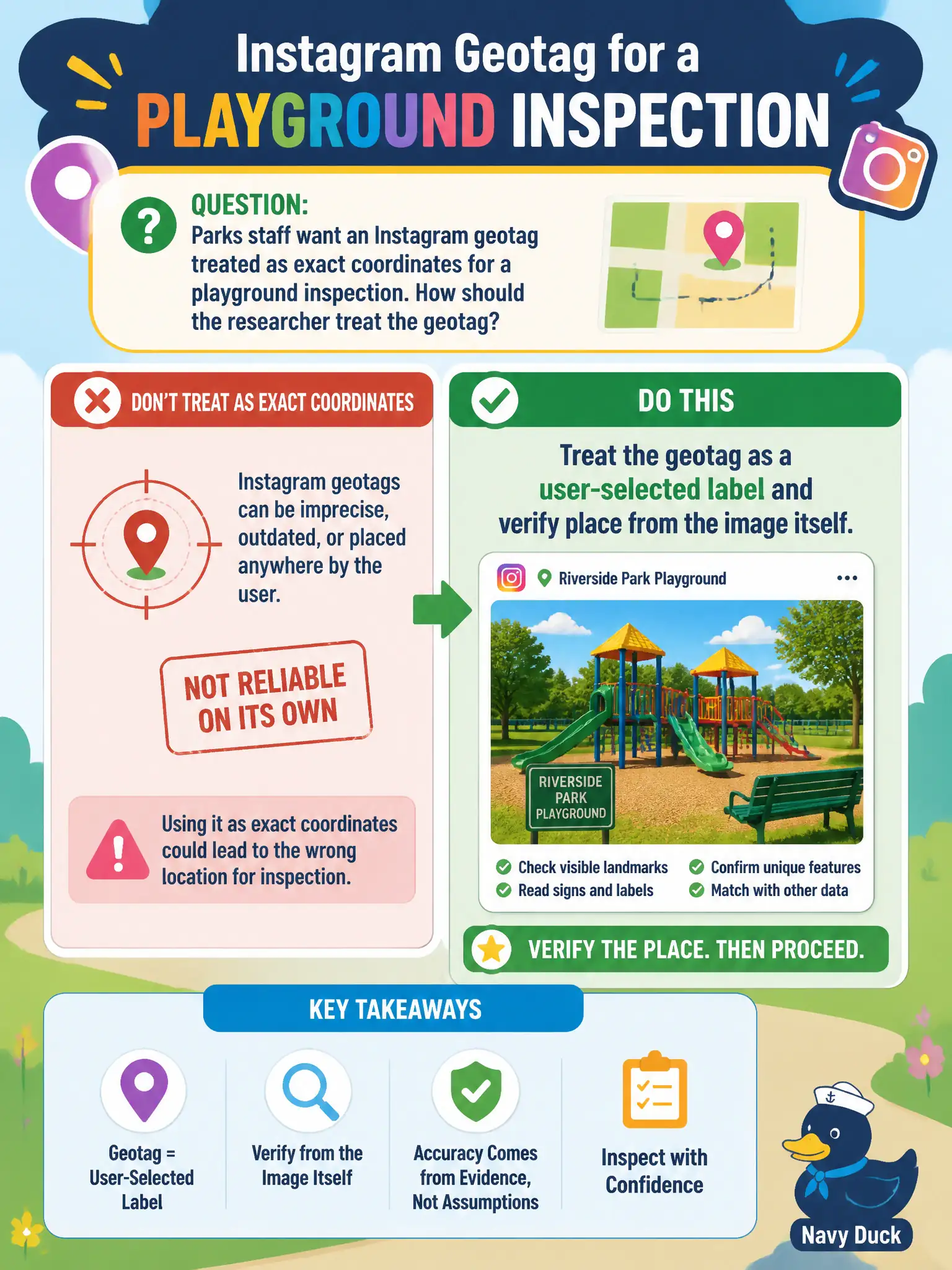
Parks staff want an Instagram geotag treated as exact coordinates for a playground inspection. How should the researcher treat the geotag?
Select an answer to reveal the explanation.
Short Explanation
Instagram location tags are like picking a restaurant from a list—you can tap the wrong one. Use the tag as a hint, then read the playground from the pixels. The tag is not a survey stake.
Full Explanation
When parks staff want an Instagram geotag treated as exact coordinates for a playground inspection, the researcher should treat the geotag as a user-selected label and verify place from the image itself. Instagram locations are often chosen from a searchable list and are not survey-grade stakes suitable for work orders. Accepting the geotag as GPS-grade playground coordinates fails because selectable labels lack metrological rigor for inspection routing and safety follow-up. Ignoring the photo because geotags always beat visual landmarks fails; playground equipment, fencing, murals, and surroundings in the frame usually outperform the tag when they conflict. Asking the platform for the device’s raw GNSS log before looking at pixels fails by jumping to closed data before open imagery analysis that civic OSINT can already perform. Exam caveat: geotags remain useful place hypotheses; inspections and work orders need verified place before crews are dispatched. Operational check: read playground features in the image; compare to parks GIS and street imagery; cite visual verification in the inspection OSINT note and label the Instagram geotag as an unverified user selection rather than a surveyed point.