
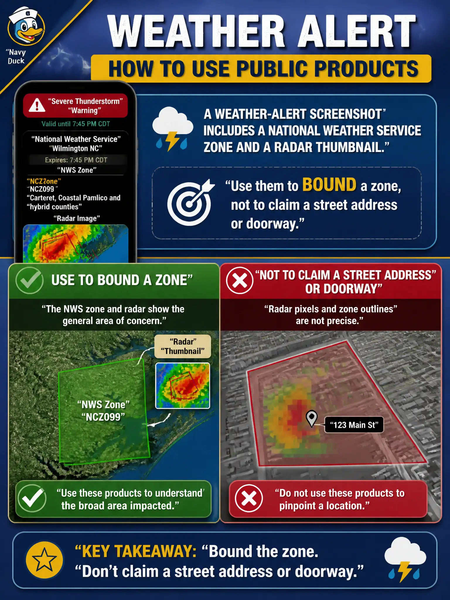
A weather-alert screenshot includes a National Weather Service zone and a radar thumbnail. How should the analyst use those public products?
Select an answer to reveal the explanation.
Short Explanation
A weather zone is a big circle on the map, not a doorbell. Radar thumbnails and NWS polygons bound an area. Do not write a street address the products never gave you.
Full Explanation
National Weather Service zones, watches, warnings, and radar thumbnails are public government products that bound geographic areas for hazard context. Analysts supporting emergency management, public information, or public-works weather response should use them to constrain a weather-alert screenshot to a zone or county-scale footprint, not to claim a street address, parcel PIN, or specific doorway flooded. Converting a radar thumbnail into a parcel identifier invents spatial precision meteorological graphics do not provide and can mislead evacuation or damage messaging. Ignoring NWS products because they are supposedly “not OSINT” is incorrect—they are openly published civic information suitable for open-source work. Treating a screenshot alone as proof a specific house flooded overclaims both the product resolution and the capture chain. Exam caveat: PORP expects zone-level use of weather products without false address precision in civic reporting or public messaging. Operational check: read the NWS zone code and product timestamp, map the zone polygon on official layers, state only area-level exposure in the brief, and require local sensors, landmark-rich 311 photos, or field reports before naming a property in any official release.