
Parks is geolocating a trail photo that shows a trail-marker code listed in the city’s trail-map PDF. What should the analyst use?
Select an answer to reveal the explanation.
Short Explanation
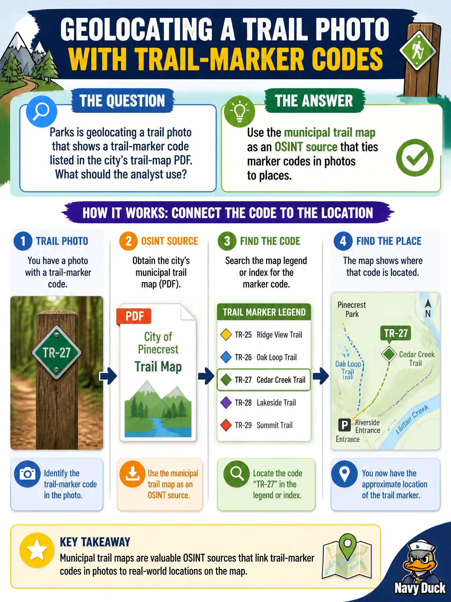
City trail maps are cheat sheets the parks department already published. If the post shows marker “T-14” and the PDF puts T-14 at a junction, that is your pin. Official map products count as OSINT.
Full Explanation
Municipal trail-map PDFs, park brochures, kiosk panels, and similar agency publications are legitimate OSINT sources for outdoor civic geolocation. When a trail photo shows a marker code listed in the city’s trail-map PDF, the analyst should use that document to bind the code to a mapped segment rather than dismissing city PDFs as non-OSINT or treating marker codes as random art. Commercial map apps are useful complements but are not exclusive; civic publications often carry marker schemas, mileages, and wayfinding codes that consumer apps omit or simplify. Hiking every trail until the marker is found without opening the PDF wastes staff time the map already compresses and delays hazard or incident response. Ignoring municipal PDFs because only commercial apps “count as OSINT” misdefines open sources and underuses taxpayer-published data that parks departments intend the public to use. Exam caveat: PORP treats agency-published maps and PDFs as core open sources for parks and trail geolocation tasks. Operational check: download the current trail-map PDF, locate the marker code, compare photo terrain and junctions to the mapped segment, confirm with satellite imagery, and cite the PDF edition, URL, and page in the parks case notes before tasking field staff.