
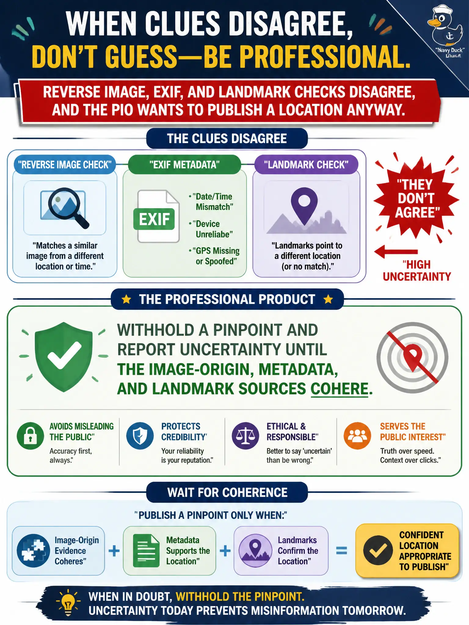
Reverse image, EXIF, and landmark checks disagree, and the PIO wants to publish a location anyway. What is the professional product?
Select an answer to reveal the explanation.
Short Explanation
When three maps point to three different towns, the honest answer is “not sure yet,” not a pin in the middle. Conflicting reverse image, EXIF, and landmarks mean the location is not ready for the PIO. Uncertainty is the product until they line up.
Full Explanation
When reverse image, EXIF or GPS tags, and landmark checks disagree, the professional civic product is to withhold a pinpoint and report uncertainty until image-origin, metadata, and landmark sources cohere. Public information officers should not publish a false-precise location for narrative convenience when methods conflict; incorrect pins misdirect field resources and erode public trust. Averaging three conflicting clues into a compromise pin invents a place none of the sources actually supports. Publishing EXIF GPS because “metadata always wins” ignores that coordinates can be wrong, stripped, spoofed, inherited after screenshots, or attached by editing software. Deleting or suppressing conflicting sources so the remaining one looks clean is analytical spoliation and undermines later audit or litigation review. Transparent uncertainty is a feature of mature civic OSINT, not a weakness. Exam caveat: PORP scores disciplined uncertainty reporting when geo methods conflict, not forced consensus pins for communications optics. Operational check: tabulate each method’s result and confidence in the case notes, state the conflict explicitly in the PIO packet, authorize only zone-level or “location unverified” public language, and reopen a pinpoint only when at least two independent methods agree with documented sources.