
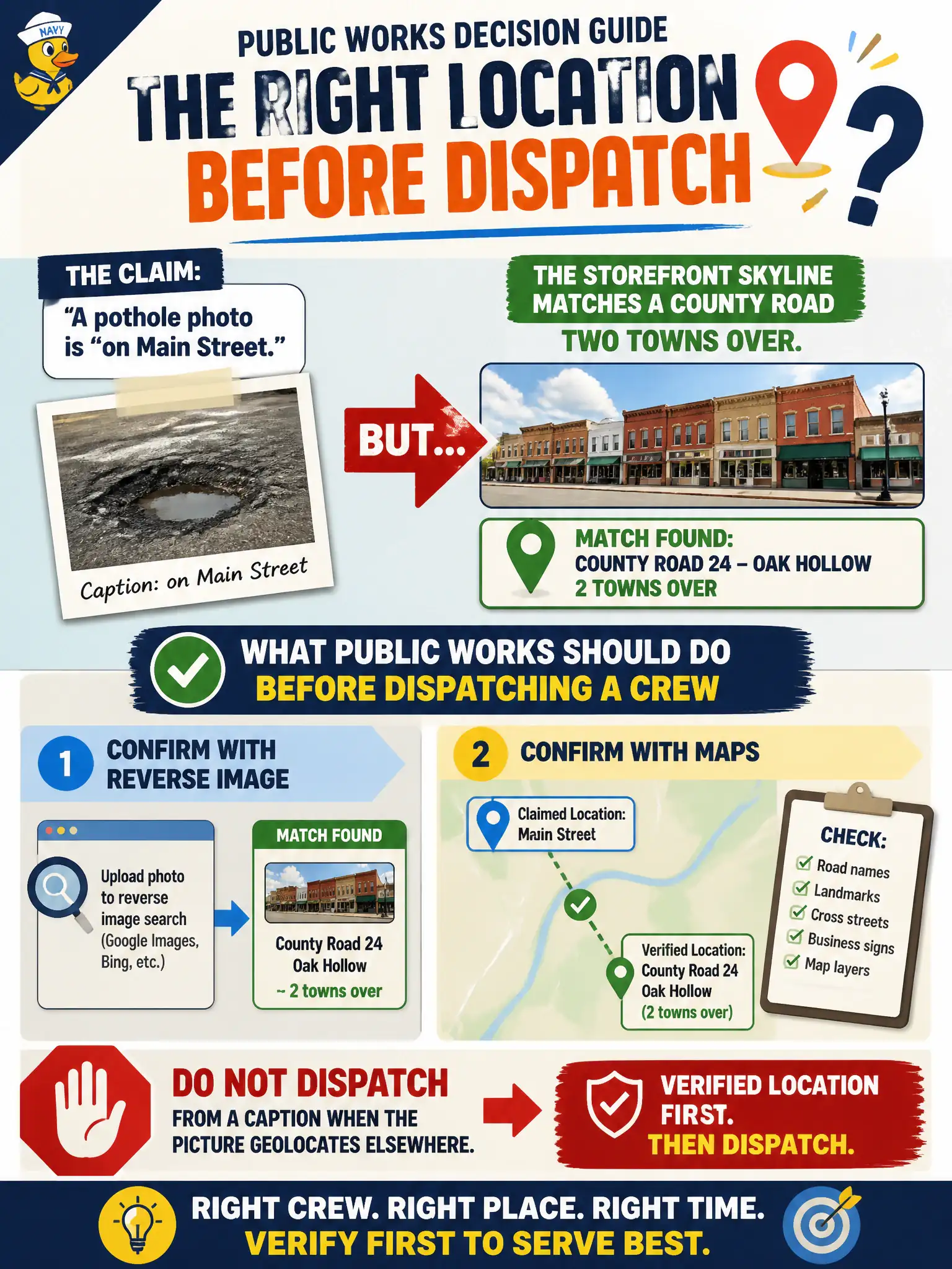
A resident claims a pothole photo is “on Main Street.” The storefront skyline matches a county road two towns over. What should public works do before dispatching a crew?
Select an answer to reveal the explanation.
Short Explanation
Captions lie more often than brick storefronts. If the skyline is two towns over, sending a crew to Main Street is a wasted truck. Reverse image and maps first, dispatch second.
Full Explanation
Resident captions on 311 and public-works photos are claims, not coordinates. When a pothole picture labeled “on Main Street” shows a storefront skyline that reverse image and maps place on a county road two towns over, crews must not dispatch from the caption alone. Confirming location with reverse image, facade matching, and GIS prevents wasted labor, false “completed” work orders, and missed hazards at the real site. Filling every pothole on both roads to avoid checking the photo is budget theater rather than analysis and still fails to validate the evidence package. Asking the resident for a social-media password instead of mapping the skyline is an OPSEC and privacy failure that does not improve geolocation and may chill legitimate reporting. Civic field response depends on verified place grounded in the image and public maps. Exam caveat: PORP requires image-based location confirmation when captions and scenery conflict, especially before work-order dispatch in municipal operations. Operational check: reverse-search the photo, match the skyline to street imagery and licensed businesses, compare against the claimed Main Street block, update the work order to the verified road, notify the complainant of the correction, and preserve both the original caption and the geo finding in the ticket history for audit.