
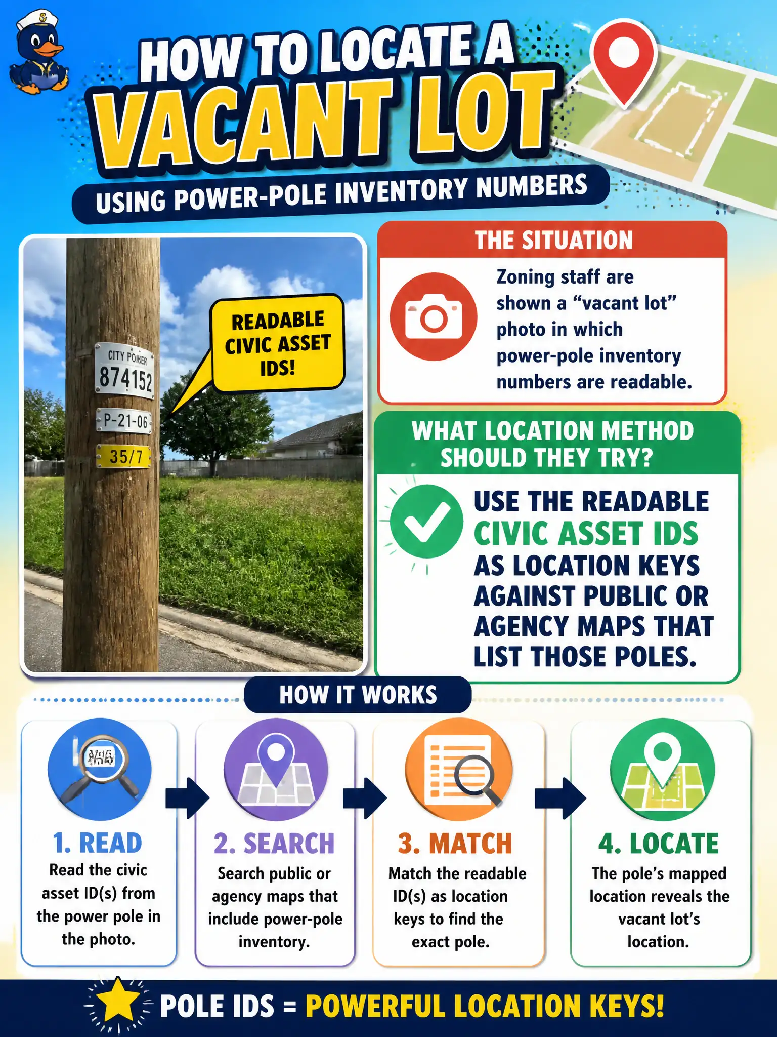
Zoning staff are shown a “vacant lot” photo in which power-pole inventory numbers are readable. What location method should they try?
Select an answer to reveal the explanation.
Short Explanation
Pole numbers are serial tags on sticks. If GIS or a public utility map lists that ID, you just got a pin without guessing dirt color. Readable civic asset IDs are location keys when the agency maps them.
Full Explanation
Readable civic asset identifiers—power-pole inventory numbers, hydrant IDs, signal cabinet tags, and similar stamps—are high-value location keys when agencies or utilities publish those IDs on public maps or appropriately accessible inventories. Zoning staff reviewing a “vacant lot” photo with visible pole numbers should search those IDs against public GIS or utility layers rather than guessing from soil color. Treating pole numbers as classified and refusing even public-map lookup abandons legitimate OSINT that cities themselves expose. Calling every customer on a feeder until someone recognizes the lot is inefficient, privacy-invasive, and unnecessary when asset IDs map cleanly. Guessing the lot from soil color alone is weak compared with stamped civic inventory marks that were designed for field identification. Exam caveat: PORP encourages using readable public asset IDs as geo pivots while staying inside published inventories—not social-engineering utility customers. Operational check: transcribe pole numbers carefully, query public or agency maps that list them, confirm the vacant-lot viewpoint on imagery, cite the ID-to-coordinate match with dates, and avoid collecting customer PII not required for the zoning question.