
Library events staff try to geolocate a stolen-banner photo using Street View-class imagery that is three years old. A new building in the photo is missing on that layer. What should they remember?
Select an answer to reveal the explanation.
Short Explanation
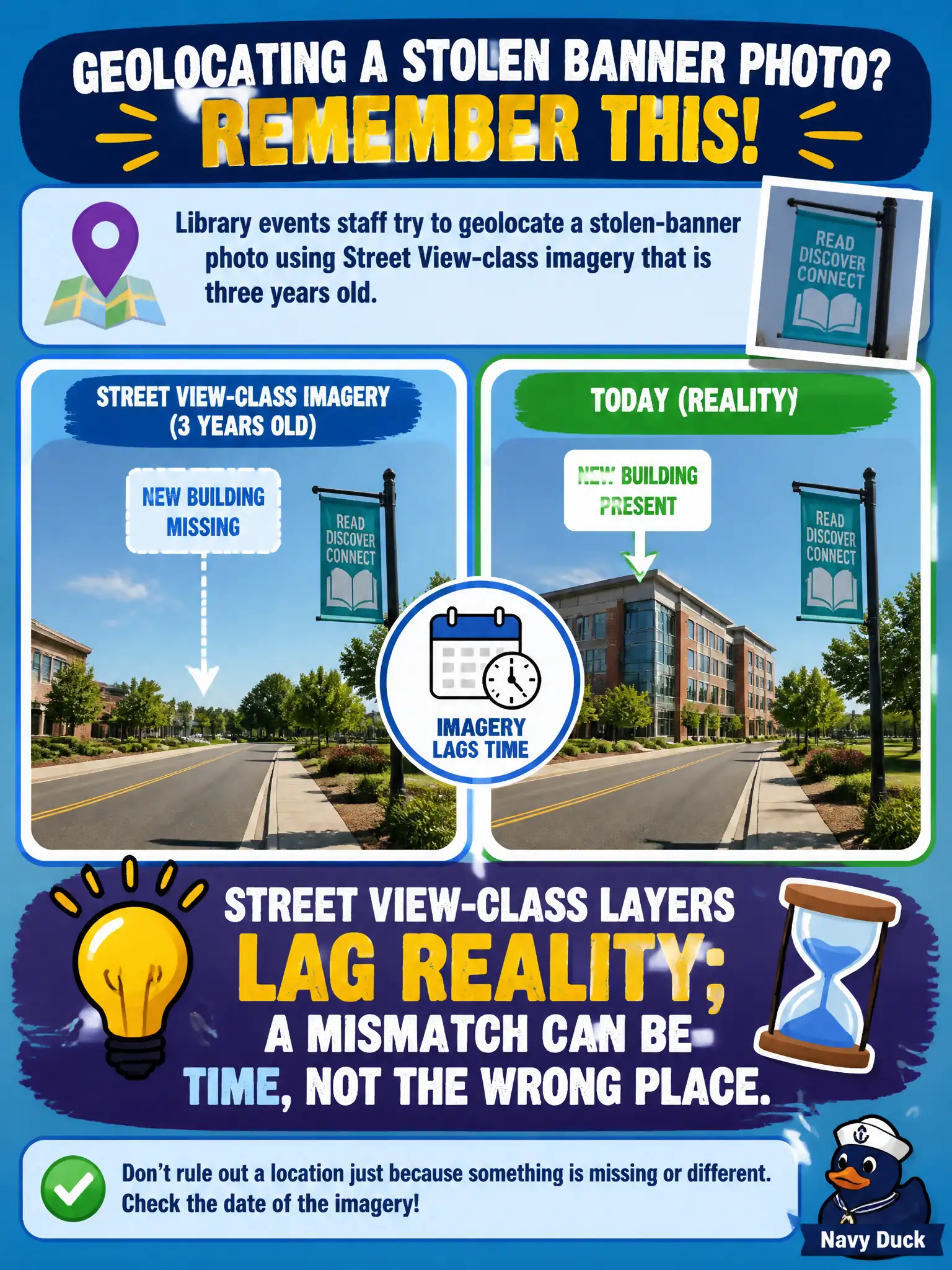
Street View is a postcard from whenever the car last drove by, not a live window. A new library wing can be real and still missing from a three-year-old layer. Time mismatch is not automatically “wrong city” or “fake photo.”
Full Explanation
Street View-class and similar imagery layers lag reality; buildings appear, vanish, and change facade on a delay of months or years after construction. When library events staff compare a stolen-banner photo to a three-year-old layer and a new building visible in the photo is missing from that layer, the mismatch can be temporal rather than proof of the wrong place or of AI-generated media. Discarding all map layers older than one year throws away stable geometry that still anchors older streetscapes and utility poles. Treating Street View as live CCTV is categorically incorrect and leads analysts to ignore dated-but-still-valid context. Claiming that any building absent from Street View proves the photo is synthetic overclaims; municipal construction simply outpaces the capture schedule. Exam caveat: PORP expects candidates to interpret basemap lag as a time problem before concluding place error or synthetic imagery in civic cases. Operational check: note the imagery capture date in the tool UI, cross-check newer satellite or municipal orthophotos, confirm other stable landmarks that still match, and report that the new building may post-date the Street View epoch rather than inventing an AI finding.