
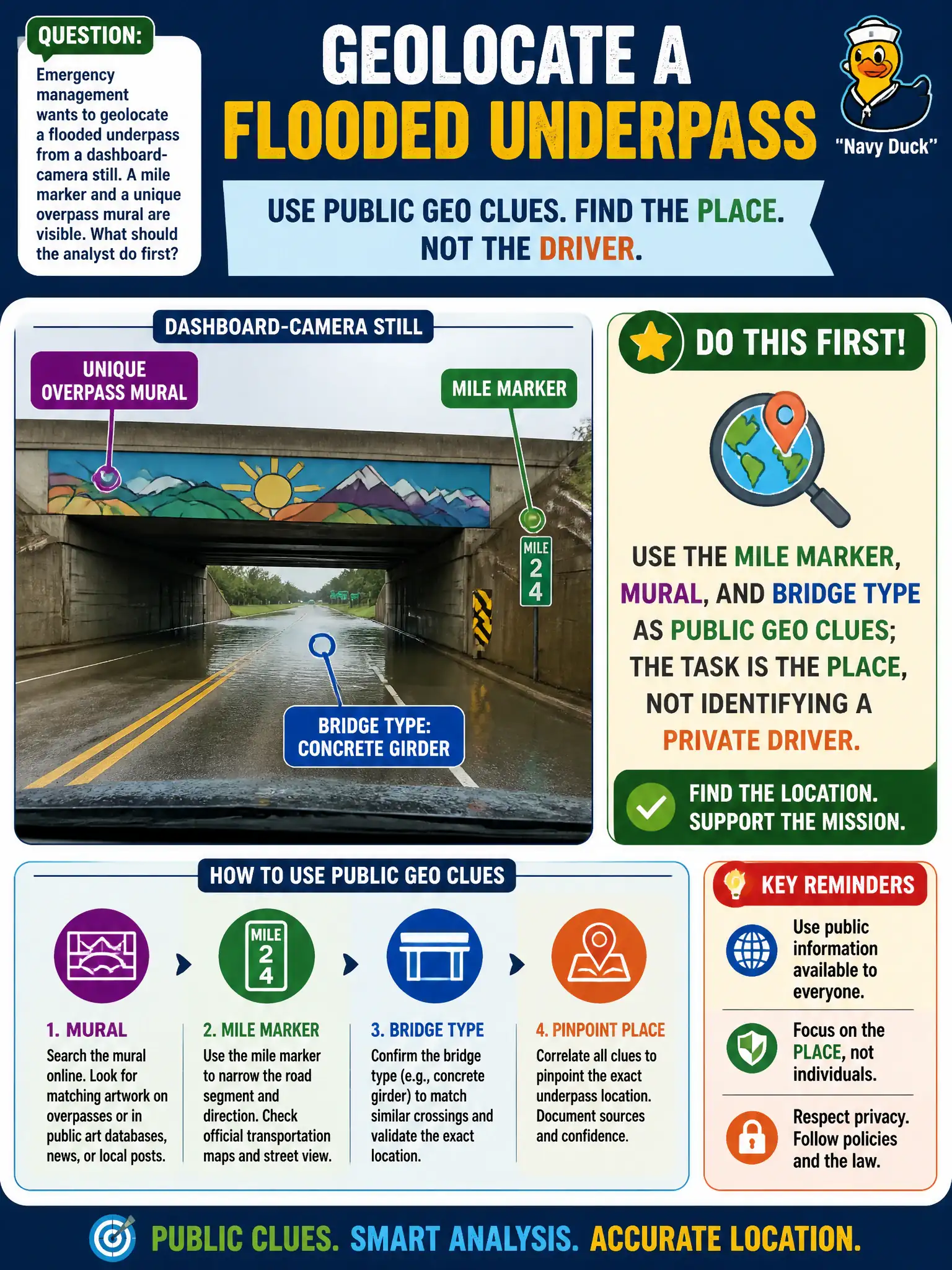
Emergency management wants to geolocate a flooded underpass from a dashboard-camera still. A mile marker and a unique overpass mural are visible. What should the analyst do first?
Select an answer to reveal the explanation.
Short Explanation
Mile markers and murals are public road signs with extra paint. Read those first and you often get the underpass without turning the clip into a hunt for a private driver. Place first, people last—and often never.
Full Explanation
Dashboard-camera stills of flooded underpasses often contain mile markers, unique overpass murals, bridge types, guardrail patterns, and other road furniture that function as public geo clues. Emergency management should use those features first because the analytic task is locating the hazard for response, not identifying a private driver. Crowdsourcing the driver’s identity from the still shifts the work into people exposure and does not place the floodwater. Subpoenaing a vehicle manufacturer before reading a visible mile marker inverts cost and urgency for a problem solvable with public highway inventories and maps. Ignoring road furniture because dashcam files are “always geotagged” is false—many messaging and export paths strip GPS—and abandons reliable visual pivots when tags are missing. Civic flood response benefits from fast, defensible pins grounded in public scene content. Exam caveat: PORP keeps geolocation on public scene artifacts and draws a bright line against unnecessary identification of private persons in civic hazard photos. Operational check: read the mile marker and mural, match bridge type on public inventories and imagery, fix the underpass in GIS for response routing, avoid circulating driver-identifying detail not needed for the mission, and document imagery sources with timestamps in the incident log.