
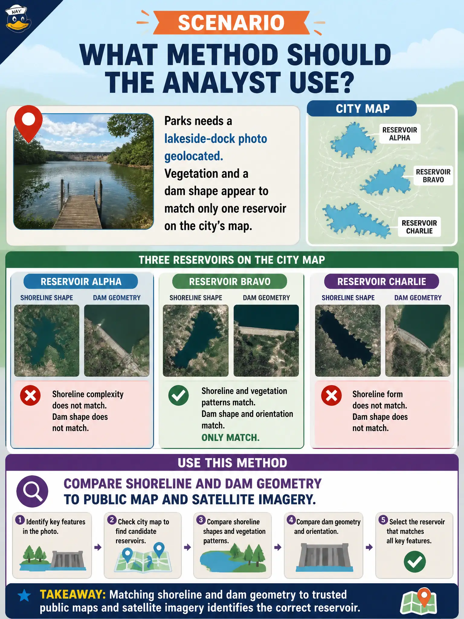
Parks needs a lakeside-dock photo geolocated. Vegetation and a dam shape appear to match only one reservoir on the city’s map. What method should the analyst use?
Select an answer to reveal the explanation.
Short Explanation
Shorelines are fingerprints. If the dam curve and vegetation match one reservoir on the city map, overlay the photo on public satellite imagery and see if the shapes lock. Guessing “the big lake” is not a method.
Full Explanation
Shoreline curvature, dam geometry, spillway placement, and vegetation patterns that appear to match only one reservoir on the city’s public map should be compared directly to map layers and satellite imagery. Geometry matching is a standard civic geolocation method for parks and water assets and often resolves lakeside-dock photos without needing camera EXIF. Estimating location from a consumer zoom range alone is speculation unsupported by map evidence. Defaulting any lake photo to the city’s largest reservoir ignores distinctive dam and shoreline cues that differentiate facilities. Sending a dive contractor to inspect every dock before opening maps wastes field budget that OSINT can narrow first and delays hazard response. Public GIS and imagery are appropriate first tools for municipal parkland questions. Exam caveat: PORP expects map-and-imagery comparison for natural and engineered water features visible in public photos, not field-first exhaustive search. Operational check: sketch dam and shoreline features from the photo, overlay against public GIS and recent satellite layers, note which reservoir uniquely fits, record residual ambiguity if multiple basins remain plausible, and only then task field staff to the matched dock with the imagery packet attached.