
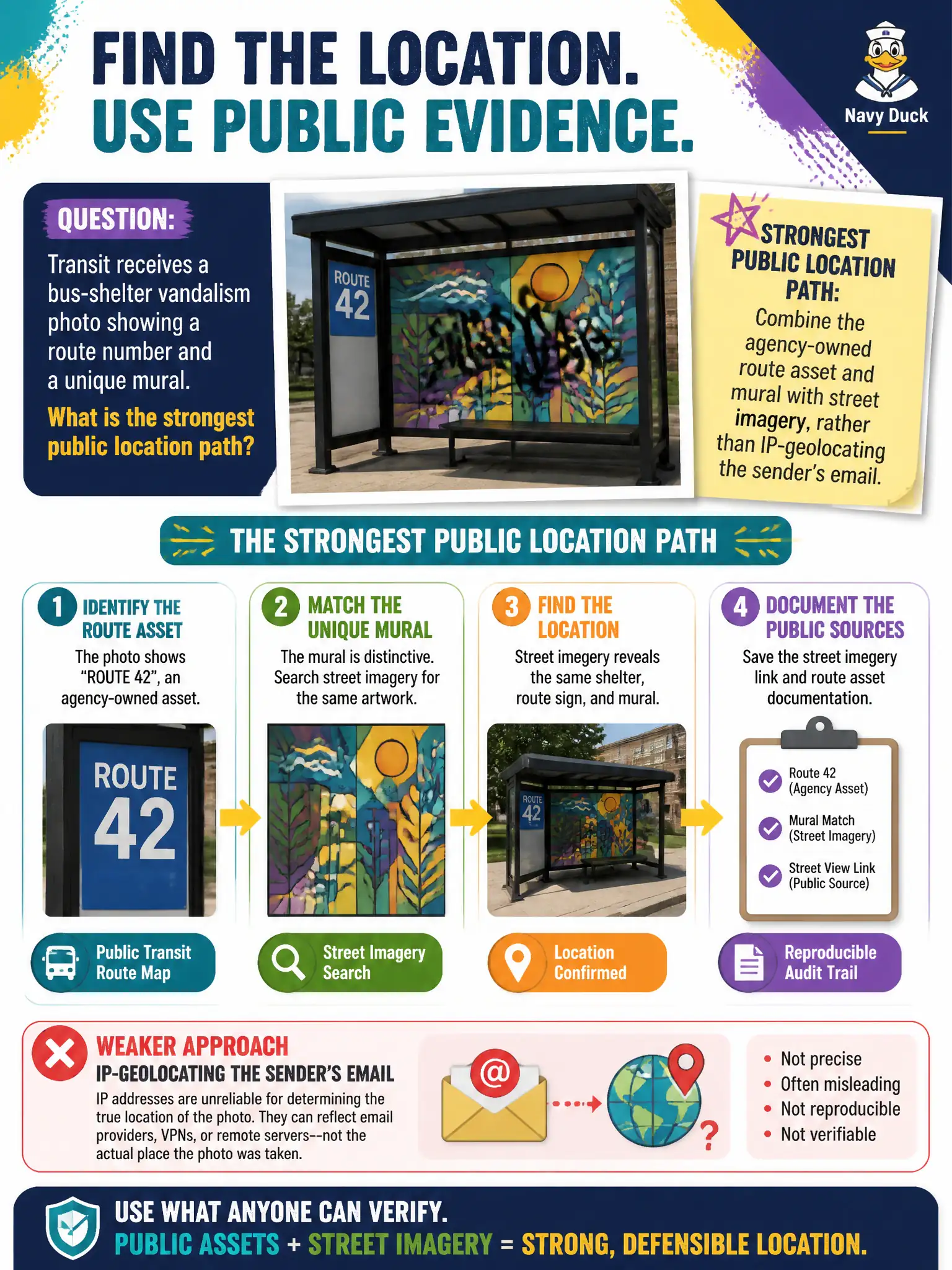
Transit receives a bus-shelter vandalism photo showing a route number and a unique mural. What is the strongest public location path?
Select an answer to reveal the explanation.
Short Explanation
A unique mural on a numbered shelter is like a labeled bus stop in the photo itself. Match those agency assets to maps and street imagery. Email-header folklore is a detour, not a place.
Full Explanation
Transit vandalism photos that display an agency-owned route number together with a unique bus-shelter mural combine asset identity with distinctive public art. That pairing is a strong location path when matched to stop inventories, mural catalogs, and street imagery. The analyst should locate the shelter from those visual civic facts rather than IP-geocoding or header-geocoding the sender’s email, which at best approximates a network path and does not place the damaged asset. Ignoring murals because art is “subjective” discards uniquely mappable content that agencies often document in public art registries. Waiting for the vandal to post a selfie delays remediation and confuses offender identification with the separate task of finding the shelter. Email-based geolocation also risks privacy overreach without improving place accuracy. Exam caveat: PORP prioritizes visible civic assets and landmarks over network metadata for location tasks in municipal operations. Operational check: read the route number and mural features, search agency stop lists and public photo archives, confirm the match on street imagery, open a work order at the verified shelter, preserve the image hash, and exclude sender email geolocation from the location claim in the safety report.