
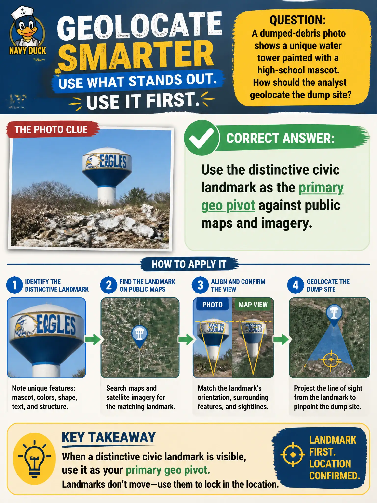
A dumped-debris photo shows a unique water tower painted with a high-school mascot. How should the analyst geolocate the dump site?
Select an answer to reveal the explanation.
Short Explanation
A painted water tower is a giant “you are here” sticker on the skyline. Match that landmark to maps before guessing alleys from trash. Unique civic structures beat vibes.
Full Explanation
Distinctive civic landmarks visible in an incident photo—such as a water tower uniquely painted with a high-school mascot—are primary geolocation pivots. The analyst should match that tower against public maps, street and aerial imagery, school-district materials, and news archives to locate the dumped-debris scene before guessing from debris type alone. Landmark-first method narrows the search to a small map footprint and supports a defensible work-order location for code or environmental enforcement. Skipping the tower and guessing the nearest alley from debris characteristics wastes the strongest public clue and invites mis-dispatch. Asking the public to name students who attended that high school converts a place-finding task into unnecessary exposure of private individuals and is not required when the landmark itself geolocates. Treating the mascot as a trademark dispute stops location analysis without addressing the illegal dump. Exam caveat: PORP rewards landmark-first geolocation for civic incident photos and discourages pivoting to private persons when public scene features suffice. Operational check: identify the tower and mascot on authoritative public sources, fix approximate coordinates in GIS, verify the camera viewpoint against satellite or street imagery, cite the landmark match with URLs and dates, and only then task field staff to the matched site.