
Building inspection receives an original JPEG from a resident's camera that still has GPS EXIF. How should they use those coordinates?
Select an answer to reveal the explanation.
Short Explanation
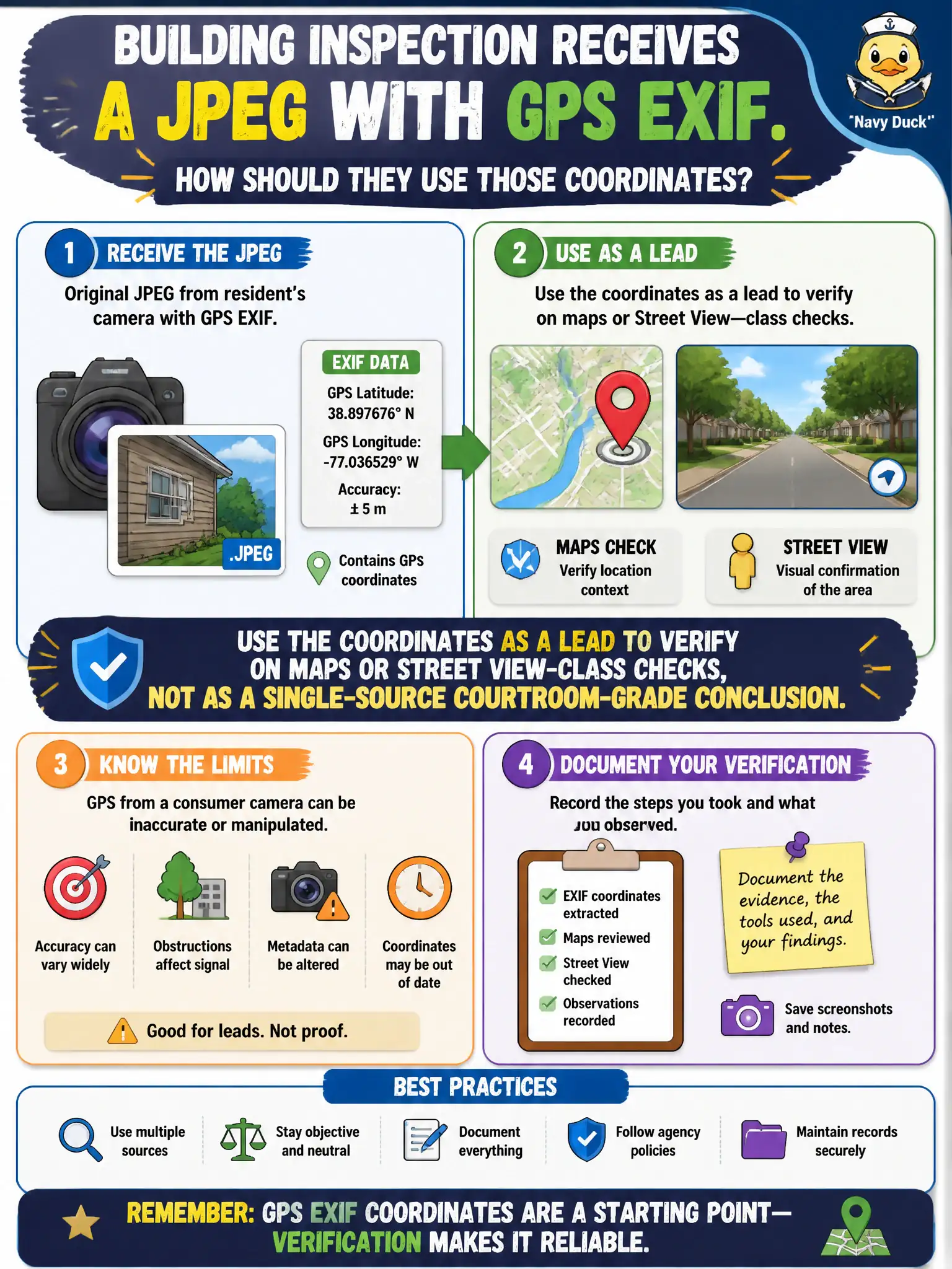
GPS in a JPEG is a sticky note on a map, not a signed survey. Plot it, look at the street-level view, and see whether the scene matches. Do not swear out a conclusion on tags alone, and do not start scanning whoever owned the camera.
Full Explanation
Use EXIF GPS coordinates from an original resident JPEG as a lead to verify on maps or Street View-class checks, not as a single-source courtroom-grade conclusion. Coordinates can be wrong, copied, or stale. Treating GPS tags as conclusive proof of the violation location with no map check overtrusts metadata. Stripping the EXIF immediately so location cannot be considered discards a useful pivot. Scanning the network of any device identified in the metadata leaves OSINT for intrusive technical action. Exam caveat: report GPS as device-reported location subject to verification, especially in building-inspection enforcement contexts. Operational check: plot the coordinates, compare to the alleged parcel on authoritative maps, and document agreement or discrepancy before relying on the point in the case file. Keep the civic purpose, method limits, and exhibit labels aligned so reviewers can see what was public-source work versus other authorities. Document residual uncertainty explicitly rather than implying completeness. Prefer reversible public methods and preserve exhibits that a second analyst can reopen without guessing. When sources conflict, record both locators and state the confidence level in plain language.