
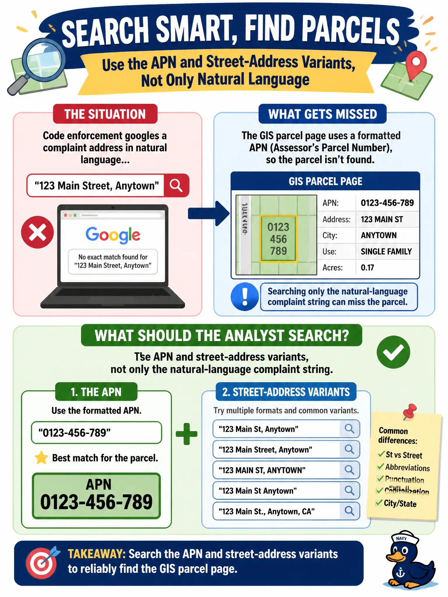
Code enforcement googles a complaint address in natural language and misses the GIS parcel page that uses a formatted APN. What should the analyst search?
Select an answer to reveal the explanation.
Short Explanation
GIS does not file parcels under the yellow house on the corner—it files them under APNs and tidy street strings. Search only the way a neighbor talks and you walk past the official page. Try the identifier the map actually uses.
Full Explanation
Search the APN and street-address variants, not only the natural-language complaint string, when code enforcement misses a GIS parcel page that uses a formatted assessor parcel number. Relying only on the spoken street nickname used by 311 callers misses structured identifiers. Using the resident's private utility login to view the parcel leaves OSINT for privileged access. Concatenating the whole 311 narrative into one search string injects noise and rarely matches parcel systems. Exam caveat: hyphenation, leading zeros, and directional variants of the address should be tried systematically. Operational check: from the complaint, derive APN and normalized address forms, query those tokens against the GIS/assessor surfaces, and cite the parcel page that matches. Keep the civic purpose, method limits, and exhibit labels aligned so reviewers can see what was public-source work versus other authorities. Document residual uncertainty explicitly rather than implying completeness. Prefer reversible public methods and preserve exhibits that a second analyst can reopen without guessing. When sources conflict, record both locators and state the confidence level in plain language. Retain retrieval times beside every locator so volatility does not erase the observation window.