
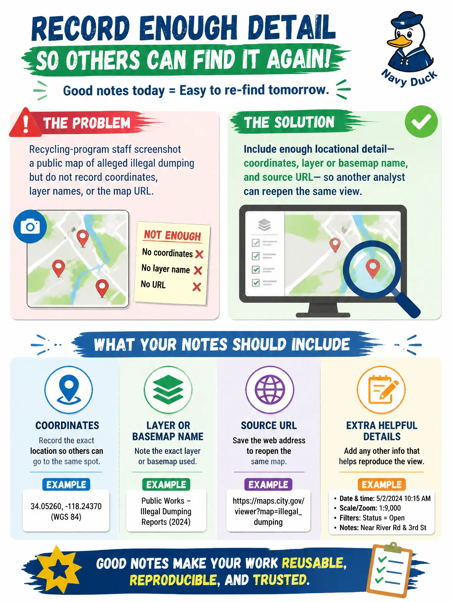
Recycling-program staff screenshot a public map of alleged illegal dumping but do not record coordinates, layer names, or the map URL. What should their notes include so another analyst can re-find the place?
Select an answer to reveal the explanation.
Short Explanation
A screenshot without a pin is a postcard with the address torn off. Next week's analyst cannot stand in the same digital spot. Drop the coordinates, the layer, and the URL into the notes so the place is reopenable, not just pretty.
Full Explanation
Notes on a public dumping map must include enough locational detail—coordinates, layer or basemap name, and source URL—so another recycling-program analyst can reopen the same view. Memory of which neighborhood the pin looked near is not reproducible. A cropped screenshot with the scale bar and attribution removed to save space destroys orientation and provenance. A street-name guess typed into a group chat with no map reference cannot be verified against the original GIS state. Exam caveat: when coordinates are approximate, say so and still record the map URL and zoom level used. Operational check: from the saved notes alone, a second analyst should be able to load the same map URL, select the named layer, and land within the intended pin area without asking the original collector. Keep the civic purpose, method limits, and exhibit labels aligned so reviewers can see what was public-source work versus other authorities. Document residual uncertainty explicitly rather than implying completeness. Prefer reversible public methods and preserve exhibits that a second analyst can reopen without guessing. When sources conflict, record both locators and state the confidence level in plain language.