
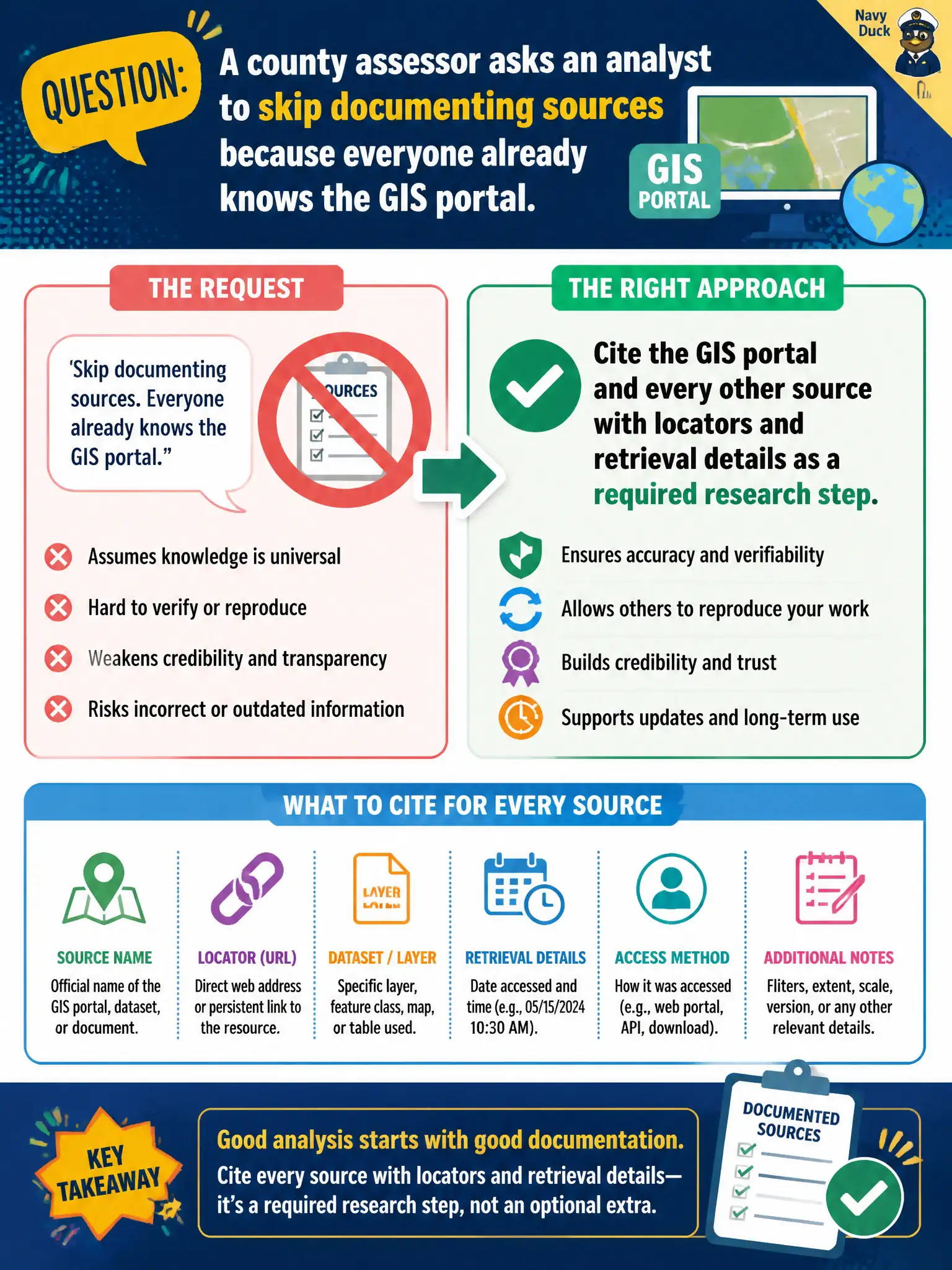
A county assessor asks an analyst to skip documenting sources because everyone already knows the GIS portal. What should the analyst do?
Select an answer to reveal the explanation.
Short Explanation
Even the town's most famous landmark still gets a pin on the map. Familiarity with the GIS portal does not retire the citation. If a finding cannot be retraced, it is not ready for a report.
Full Explanation
Source documentation is a required OSINT research step, not optional housekeeping after collection. Even when every county employee recognizes the GIS portal, reviewers, auditors, successor analysts, and external counsel still need locators and retrieval details to evaluate and reproduce the work months later. Omitting citations for familiar systems while citing only obscure blogs creates an inconsistent record that privileges insider knowledge over defensibility and hides how findings were obtained. Replacing source notes with a statement that staff already know where the maps live fails the same test and will not survive personnel turnover or outside review. Documenting sources only after a lawsuit is filed is reactive and often too late to reconstruct volatile open-web observations. Exam caveat: citation depth can be proportional to sensitivity and decision risk, but familiarity never justifies a blank source field for a material finding in an assessor packet. Operational check: every map, parcel, or layer cited should carry a stable locator (URL or system path), layer or dataset name, and retrieved-on timestamp before the draft leaves the analyst's desk. Keep the civic purpose, method limits, and exhibit labels aligned so reviewers can see what was public-source work versus other authorities.