
A city GIS team must convert parcel extrusion meshes into OpenUSD for the digital twin. What should their exporter primarily produce?
Select an answer to reveal the explanation.
Short Explanation
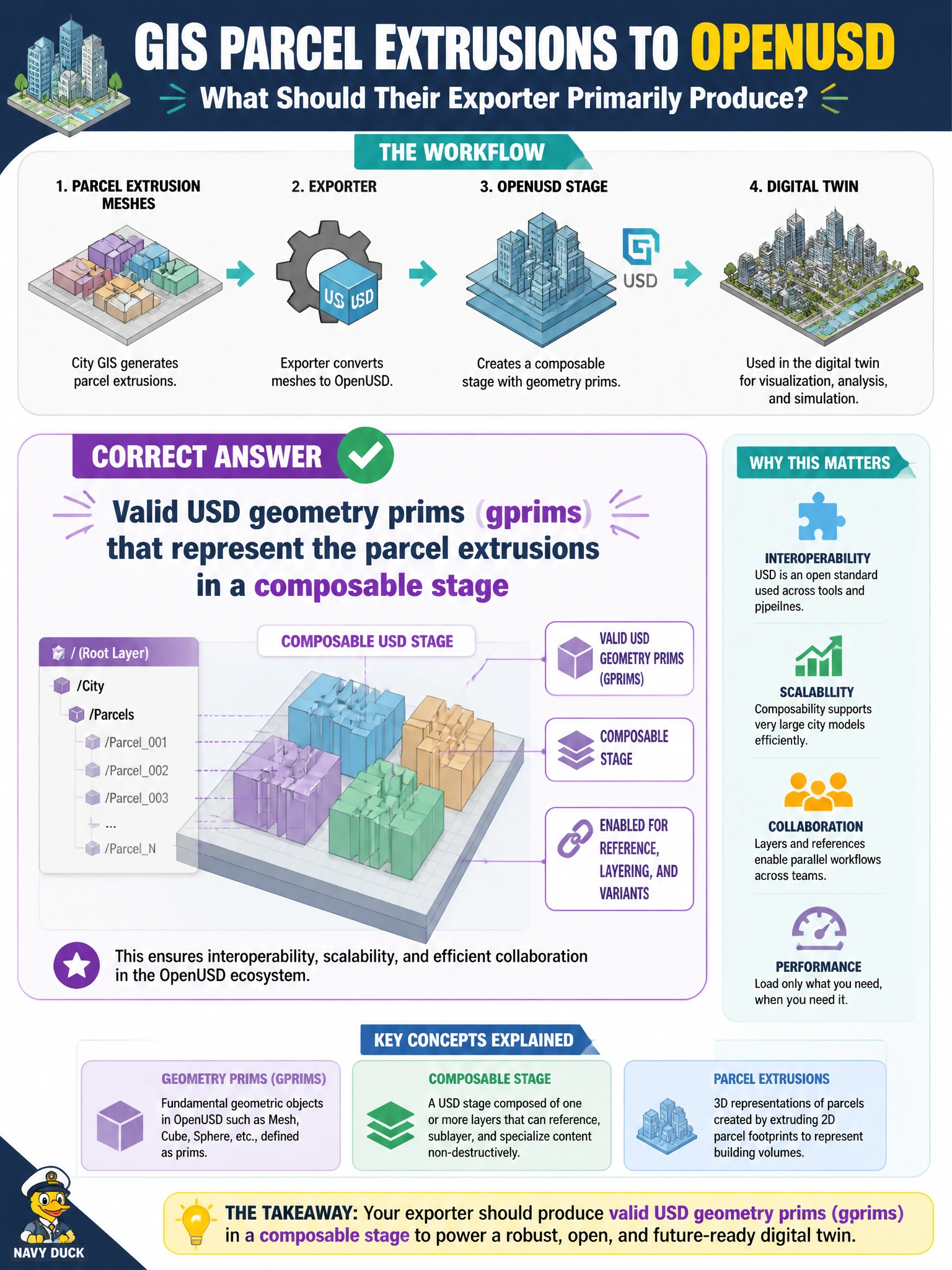
Parcel extrusions need to land as real USD geometry the twin can compose, not as screenshots or mystery blobs. Write an exporter that emits proper gprims. Think blueprints that other departments can still layer on top of.
Full Explanation
When a city GIS team converts parcel extrusion meshes into OpenUSD for the digital twin, the exporter’s primary product must be valid USD geometry prims (gprims) that represent those extrusions in a composable stage. Downstream composition, extents computation, selection tools, and visualization all expect real Mesh (or equivalent) hierarchy under Xforms—not screenshots or opaque blobs. Mapping GIS solid extrusions into typed geometry prims with correct transforms, extents, and optional attribute carry-over (parcel IDs, zoning codes via primvars or customData) is what makes parcel content reusable across permitting, planning, and emergency overlays.
Exporting only flattened PNG orthophotos of each parcel produces images that cannot participate in 3D composition, collision, or height-based analytics in the twin. Python pickle dumps of GIS feature IDs are non-USD, non-portable binary that OpenUSD runtimes will not compose as geometry. Unstructured binary blobs without prim hierarchy likewise fail the OpenUSD exchange contract: there is no discoverable prim path, no stage metadata contract, and no composable asset boundary for municipal layers.
Exam caveat: “valid USD geometry” does not require every GIS attribute to become a primvar on day one, but it does require the extrusion to land as inspectable, typed geometry in a stage other tools can open. Do not confuse image bake-outs used for 2D map tiles with the 3D USD asset the twin consumes.
Operational check: after conversion, open the stage in usdview or the twin loader, confirm Mesh (or gprim) prims exist under expected paths, verify extents and metersPerUnit match GIS units, and compose a sample parcel layer under a city root to ensure references resolve and extrusions align with known curb or ROW overlays before bulk ingest.