
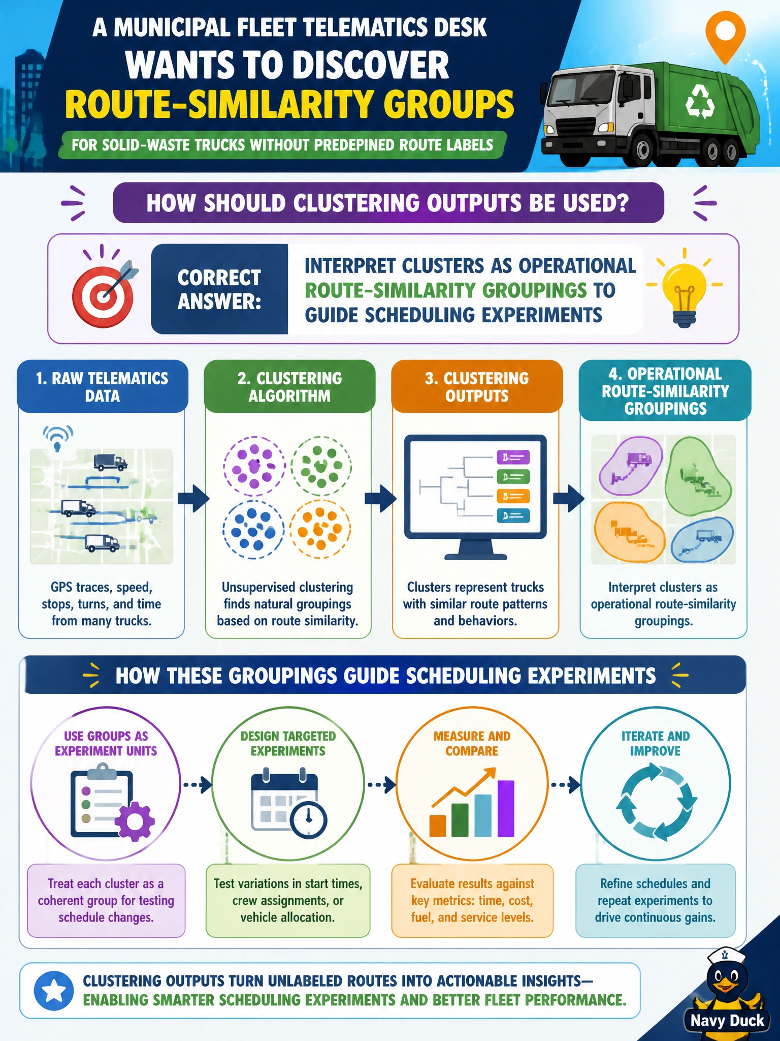
A municipal fleet telematics desk wants to discover route-similarity groups for solid-waste trucks without predefined route labels. How should clustering outputs be used?
Select an answer to reveal the explanation.
Short Explanation
Clusters are helpful route neighborhoods for planners—not official VIN stamps. Use them as operational groupings to try smarter schedules.
Full Explanation
A municipal fleet telematics desk discovering route-similarity groups for solid-waste trucks without predefined route labels should treat clustering outputs as operational route-similarity groupings that guide scheduling experiments. Cluster IDs summarize which trucks share similar GPS/route feature patterns so planners can test shared shifts, depot assignments, or maintenance cohorts—without claiming the clusters are legal identifiers. That keeps unsupervised results in an appropriate decision-support role.
Treating cluster IDs as legally certified truck VIN numbers for registration fails by concept: cluster labels are algorithmically assigned similarity groups, not statutory vehicle identifiers, and must not replace VINs. Deleting all GPS features after clustering so operations cannot review the groups prevents validation and makes the segments uninterpretable for schedule experiments. Forcing every truck into a single cluster regardless of route features nullifies clustering and hides real route diversity the desk set out to discover.
Exam caveat: route clusters can shift with seasonality, construction, or feature scaling—do not freeze them as permanent policy without monitoring membership drift. Operational check: compute cuML clusters on telematics route features, map clusters on a city route map with fleet supervisors, run a limited scheduling A/B using cluster-informed assignments, and retain GPS feature summaries so operations can explain why two trucks share a group before expanding the experiment citywide.