
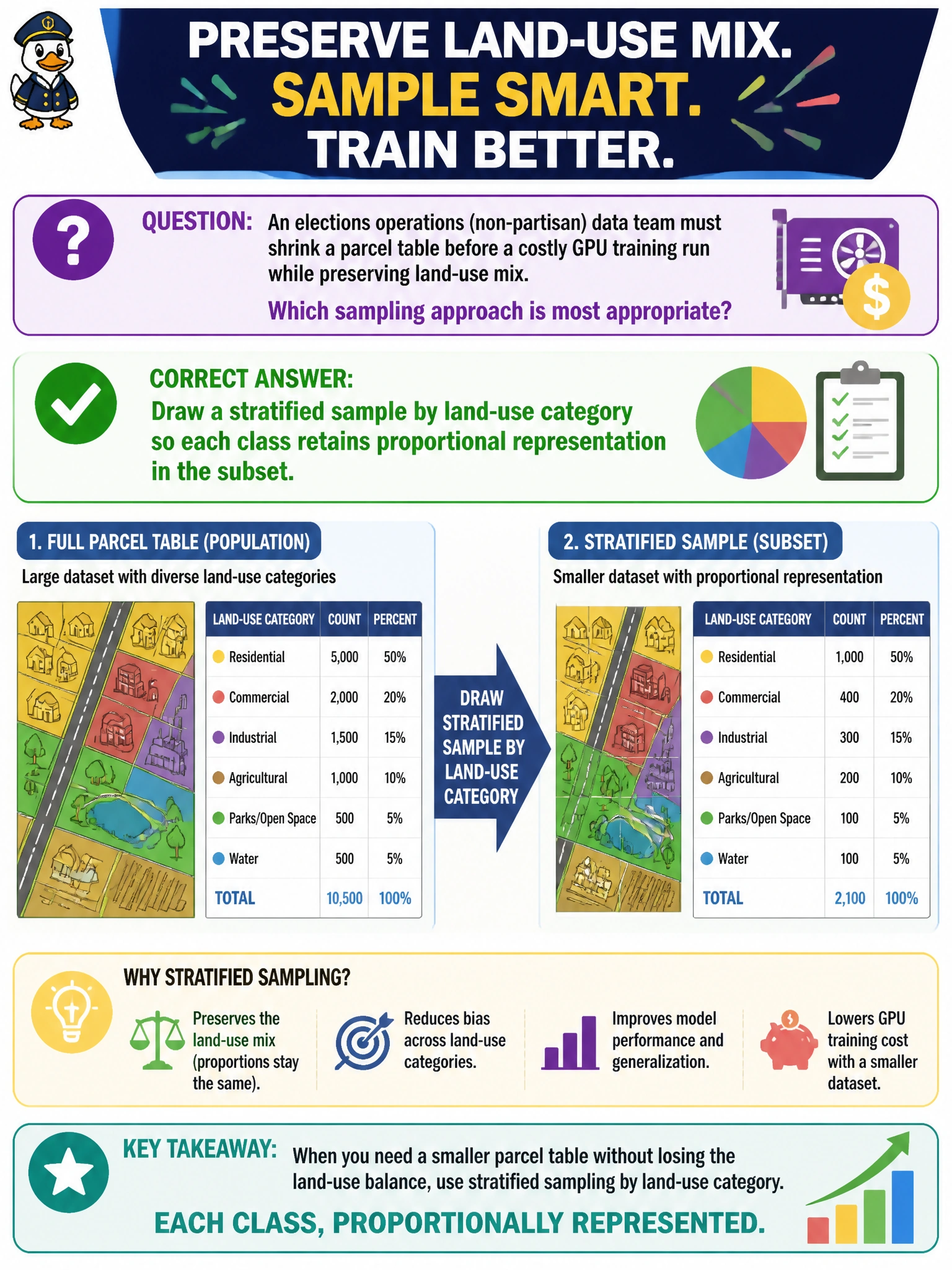
An elections operations (non-partisan) data team must shrink a parcel table before a costly GPU training run while preserving land-use mix. Which sampling approach is most appropriate?
Select an answer to reveal the explanation.
Short Explanation
Land-use types are like neighborhoods on a city map—if you grab only downtown blocks, the sample lies about the whole city. Stratified sampling by land-use keeps each category's share so the GPU pilot run still looks like the county.
Full Explanation
An elections operations (non-partisan) data team shrinking a parcel table before a costly GPU training run must preserve land-use mix. Stratified sampling by land-use category keeps each class’s proportional representation in the subset so the pilot extract still reflects residential, commercial, industrial, and other civic land-use shares. That prevents a “cheap” sample from quietly becoming a different problem than the full county parcel model while still cutting rows for GPU cost control. Taking only the first N rows from an unsorted export fails by concept: export order often clusters by geography or ingest batches and skews land-use. Keeping exclusively the largest commercial parcels and dropping residential rows fails by systematically misrepresenting the county mix the model must learn. Sampling with replacement until the subset is larger than the original fails the shrink goal and can overweight lucky parcels without improving representativeness. Exam caveat: stratification helps land-use balance but does not automatically preserve other critical slices such as jurisdiction or assessment year unless those are included in the strata design. Operational check: tabulate land-use shares on the full parcel extract, draw a stratified subset with matching target proportions, re-tabulate shares, and only then run the GPU pilot—reject the sample if any major land-use class drifted beyond agreed civic tolerances.