
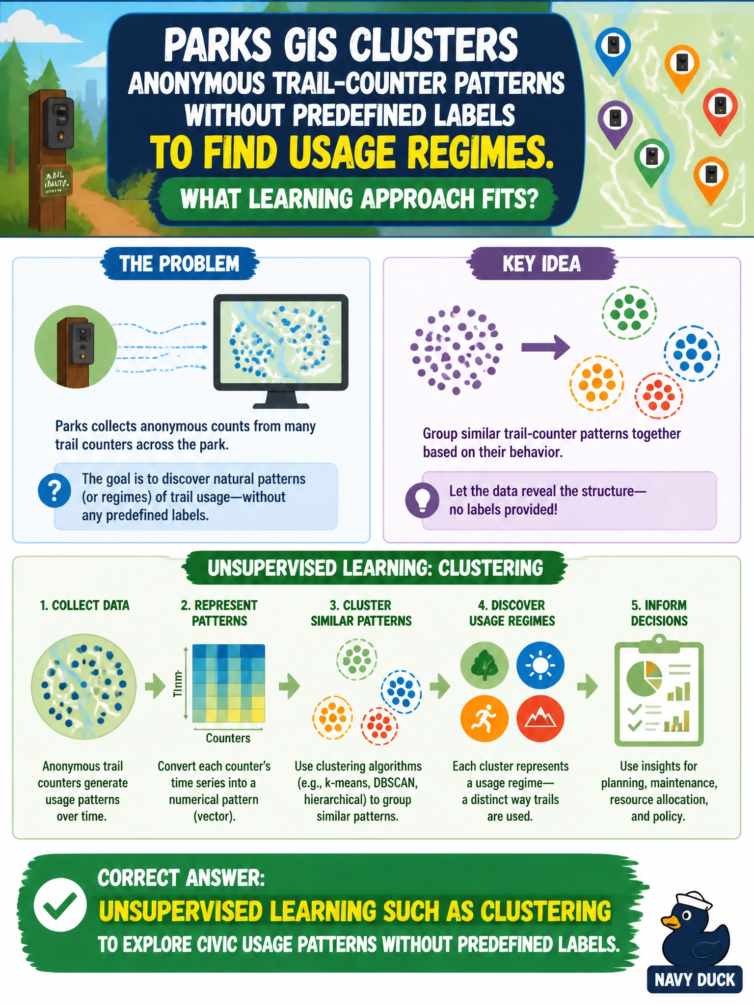
Parks GIS clusters anonymous trail-counter patterns without predefined labels to find usage regimes. What learning approach fits?
Select an answer to reveal the explanation.
Short Explanation
Without a teacher’s answer key, clustering still groups similar trail-traffic shapes—like sorting socks by pattern in the dark. That unsupervised explore step helps parks see usage regimes. You'll see it's not self-supervised learning via contrastive methods to extract civic usage patterns without predefined labels, which learns embeddings from augmented views and doesn't directly cluster regimes, zero-shot learning utilizing semantic spaces to classify civic usage patterns without predefined labels, which still needs semantic descriptions you don't have, or active learning applying uncertainty sampling to isolate civic usage patterns without predefined labels that still needs an oracle to label picks you've not got.
Full Explanation
Parks GIS clustering of anonymous trail-counter patterns without predefined labels demonstrates unsupervised learning: methods such as clustering explore structure in civic usage data to reveal usage regimes, peaks, or similar sites when no teacher-provided category exists for each observation. That approach fits exploratory analytics for staffing, maintenance, or trail planning when labels like “busy weekend regime” were not assigned in advance. Self-supervised learning via contrastive methods to extract civic usage patterns without predefined labels learns representations by contrasting augmented views in pretext tasks, not by directly clustering counter patterns to reveal usage regimes as described. Zero-shot learning utilizing semantic spaces to classify civic usage patterns without predefined labels still requires semantic descriptions or auxiliary label spaces to assign unseen classes, so it does not fit pure discovery clustering where no class vocabulary exists in advance. Active learning applying uncertainty sampling to isolate civic usage patterns without predefined labels still depends on querying an oracle for labels on uncertain cases, which contradicts the purely unlabeled, exploratory clustering task described. Exam caveat: cluster interpretations are hypotheses—operations staff must validate regimes against events, weather, and trail closures rather than treating cluster IDs as ground truth. Operational check: keep trail counters anonymous, document clustering features and time aggregation, review cluster stability across seasons, and only then translate regimes into parks staffing or maintenance recommendations.
Prefer to study offline? Printable PDF study book + test engine ($7.50, unofficial). These questions stay free here.