
During predictive design for a civic annex, why must floor plans be imported and scaled correctly?
Select an answer to reveal the explanation.
Short Explanation
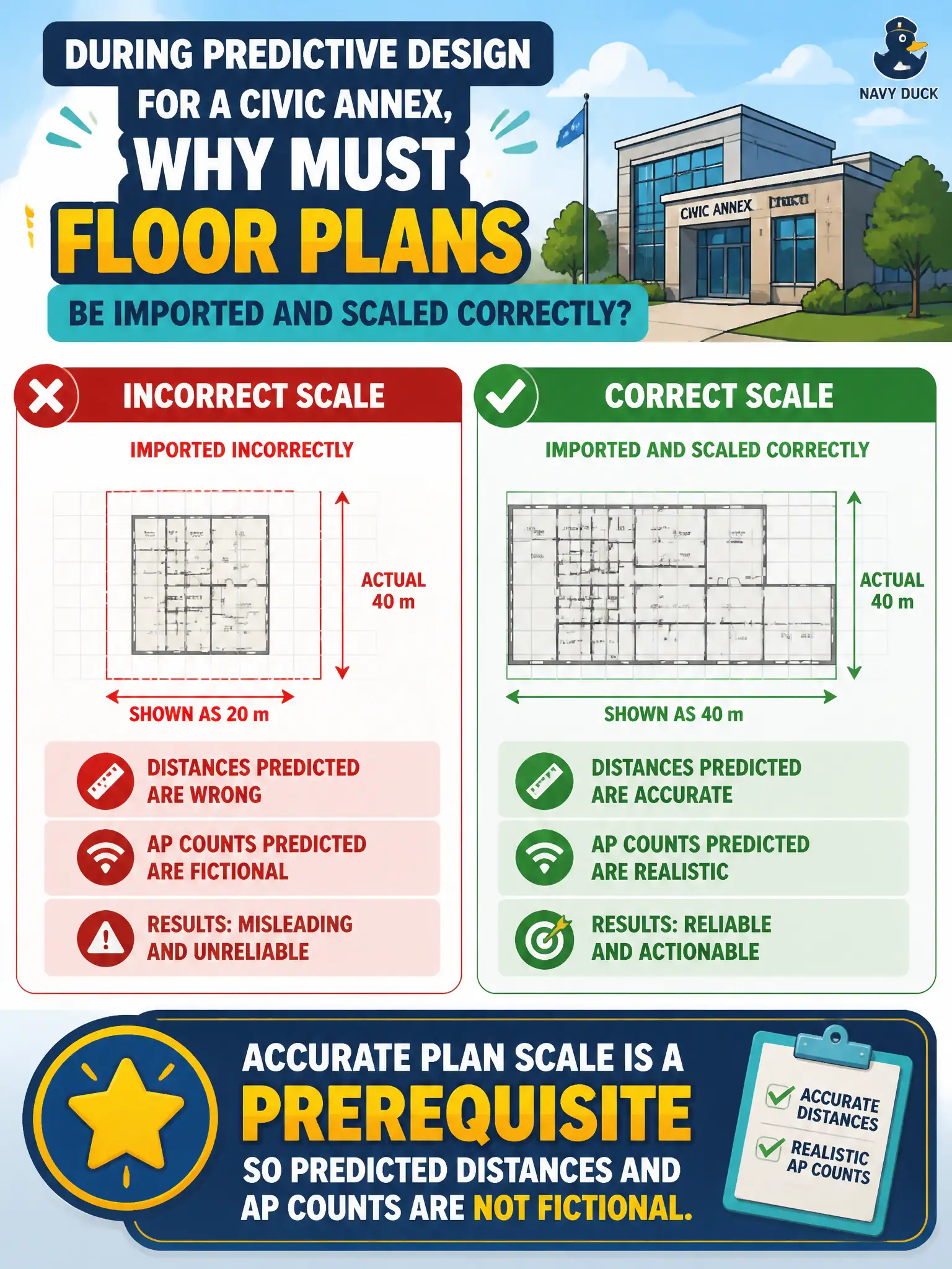
If the drawing says a hallway is 10 meters when it’s really 30, your AP count is a fairy tale. Scale the floor plan right or the heat map lies. Pretty JPEGs without calibration don’t teach the tool real meters.
Full Explanation
Predictive tools compute distances from the plan's scale; incorrect scale invents fictional AP spacing and counts. During predictive design for a civic annex, floor plans must be imported and scaled correctly because accurate plan scale is a prerequisite so predicted distances and AP counts are not fictional. A drawing that is 10% off silently shifts every coverage radius and can under- or over-provision the annex. Print cosmetics are irrelevant compared with meter-true RF geometry.
Claiming scale only affects printouts, not RF distance or AP count, fails by concept: predictive RF math uses scaled coordinates for path loss and coverage. Saying any JPEG sketch is adequate because APs auto-discover wall loss fails by concept: APs do not auto-correct a wrongly scaled drawing inside the design tool. Treating incorrect scale as desirable contingency fails by concept: wrong scale systematically mis-sizes the network rather than adding smart spare capacity.
Exam caveat: Scale validation is a non-negotiable pre-design step in CWNE predictive workflows.
Operational check: Verify civic-annex plan scale against a known on-site measured distance such as a corridor length or door spacing, correct the import scale factor, and only then trust predictive AP counts.