
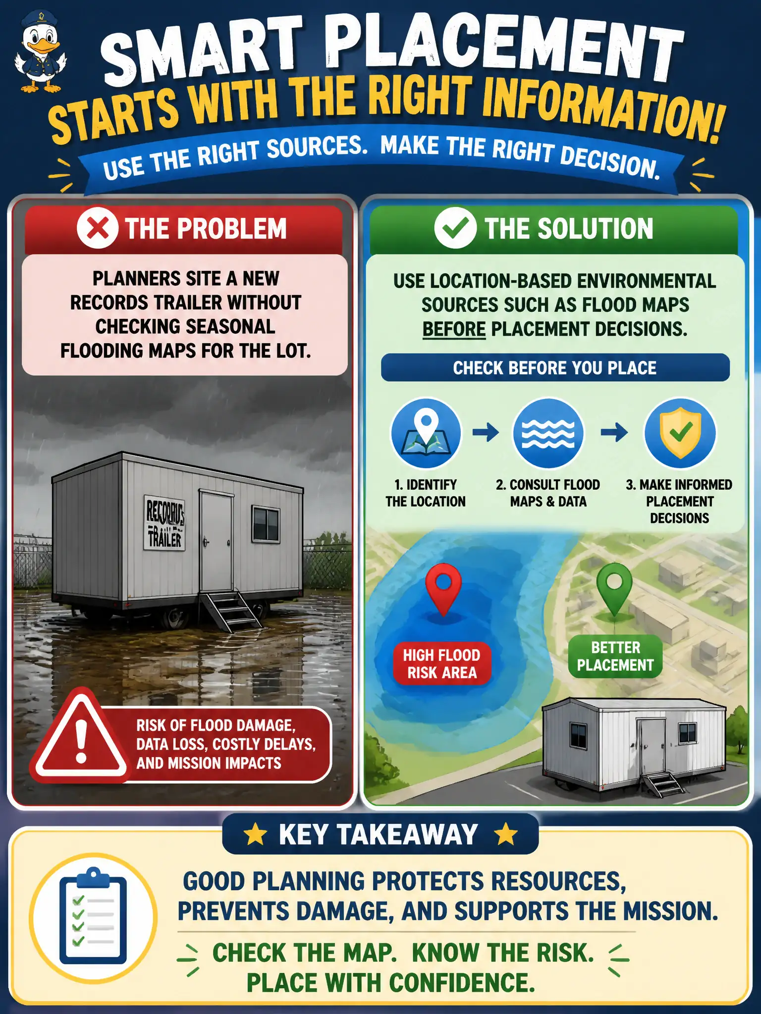
Planners site a new records trailer without checking seasonal flooding maps for the lot. What identification practice is missing?
Select an answer to reveal the explanation.
Short Explanation
Putting records in a flood-prone lot is like storing photos in a basement that floods every spring. Check the maps before you drop the trailer. Location is an environmental risk source.
Full Explanation
Siting a new records trailer without checking seasonal flooding maps omits location-based environmental source identification that should precede placement decisions. Flood maps, drainage history, and known inundation patterns inform whether vital records, media, and continuity assets will be damaged during seasonal storms. Selecting trailer paint colors before any site review prioritizes appearance over environmental fit. Assuming all lots share identical flood risk citywide erases micro-location differences that dominate flood outcomes. Waiting until after the first flood to begin location assessment converts preventable loss into reactive cleanup and records recovery. Placement decisions are risk decisions; environmental context belongs before capital commitment, not after water enters boxes. Exam caveat: temporary or leased structures are not exempt from location-based environmental identification. Operational check: review flood maps and local drainage for the proposed lot, elevate or relocate if residual risk is unacceptable, document remaining flood exposure for the trailer, include weather triggers in inspection and relocation plans for vital records, and assign a records and facilities owner for seasonal checks.