
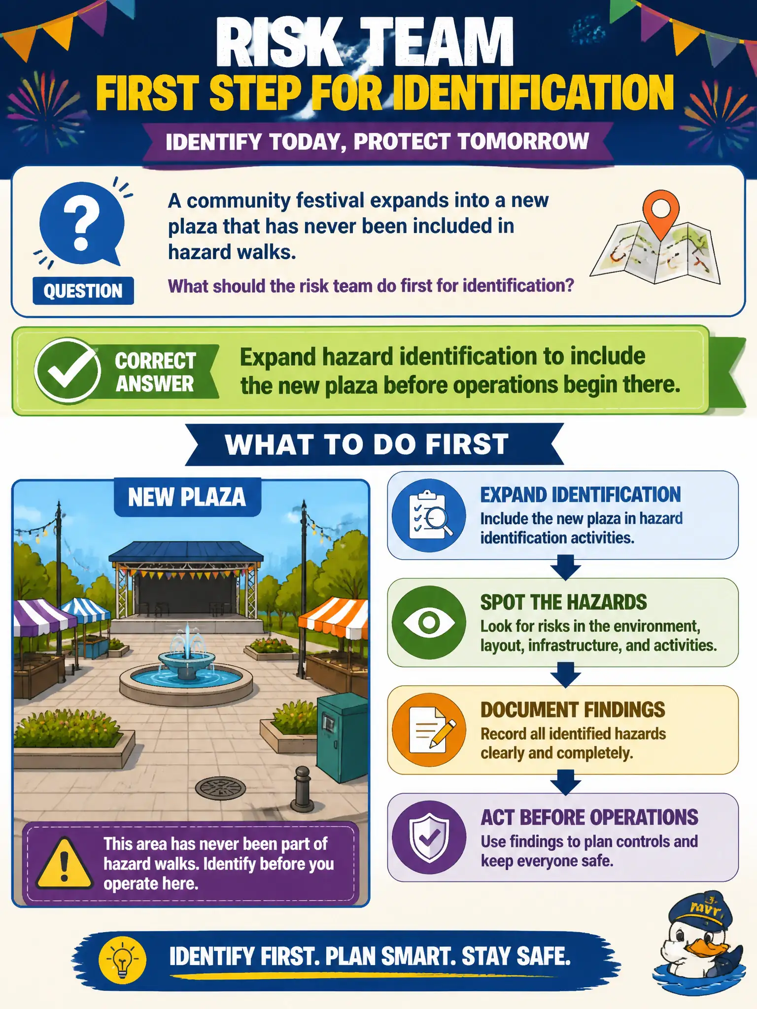
A community festival expands into a new plaza that has never been included in hazard walks. What should the risk team do first for identification?
Select an answer to reveal the explanation.
Short Explanation
New ground equals new hazards—period. When the footprint grows, identification has to grow with it, not wait for someone to trip over a curb that was never on last year’s map.
Full Explanation
Operational footprint expansion is a trigger to widen risk identification. When a community festival expands into a new plaza never included in hazard walks, the risk team should expand hazard identification to include that plaza before operations begin there. Waiting for post-event harm to justify identification inverts continuous improvement for civic events.
Waiting until after the festival ends so near-miss data can justify future walks accepts preventable exposure as the entry ticket to analysis. Relying only on last year’s map because footprint changes never trigger new identification work freezes geography incorrectly. Limiting walks to indoor venues and treating outdoor plazas as out of scope invents a boundary that does not match public-event risk.
Exam caveat: new venues and footprint changes trigger identification refresh. Prior maps do not cover unassessed space.
Operational check: add the new plaza to the event hazard-identification plan; walk it for crowd, traffic, weather, and utility exposures before opening; document findings and controls; update next year’s baseline map. Treat map updates for new plazas or stages as a go/no-go gate before public opening. File the pre-event walk findings with the festival operations packet.