
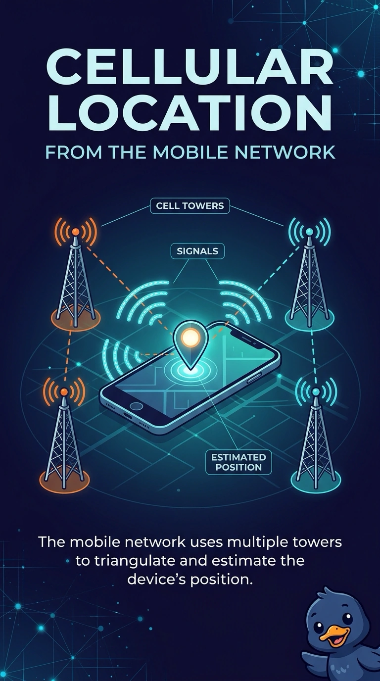
Indoors, a phone cannot see GPS satellites, yet a map still estimates its location from the mobile network. Which feature provides that estimate?
Select an answer to reveal the explanation.
Short Explanation
The sky is blocked, so the phone asks the mobile network where it roughly is. You are using cellular location. A tap radio, a headset, and a management profile do not substitute for satellites.
Full Explanation
Cellular location estimates position from the mobile network, which is how a map can still place the phone indoors when GPS satellites are not visible. Near-field communication is a tap at a few centimeters. It does not read satellites through a roof and it does not use cell towers for a map. A Bluetooth headset carries audio to the phone. It does not calculate position from the cellular network. Mobile device management applies policy. It is not a location source. Exam caveat: a cellular estimate is coarser than a clear GPS fix. The feature explains the indoor mark. It does not promise a pinpoint. Operational check: disable GPS, stand indoors with cellular service, and confirm the map still shows an approximate position. Disable GPS indoors and confirm the map still shows an approximate position. Tell the user the indoor mark is approximate and will tighten when the phone sees the sky. Step outside and confirm the mark tightens when satellites are visible.