
A map application needs a phone's outdoor location. Cellular data is turned off, and the map still shows the phone's position. Which feature provides that position?
Select an answer to reveal the explanation.
Short Explanation
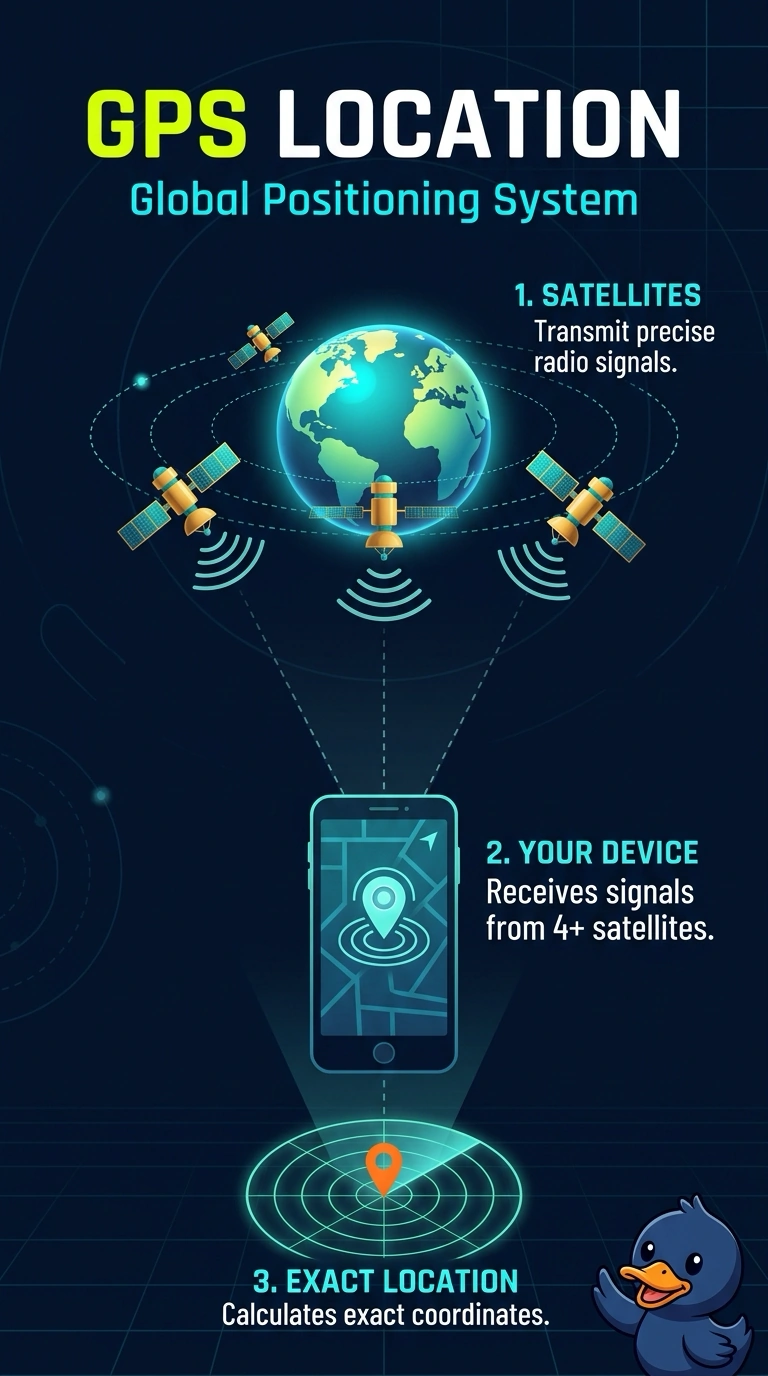
You can still see your outdoor position because GPS receives signals from satellites, not cellular data. Bluetooth connects to nearby devices, near-field communication handles very close taps, and mobile device management applies phone policies; none provides the satellite position.
Full Explanation
GPS is the satellite positioning feature that gives your phone an outdoor location. Your map still shows the phone’s position with cellular data turned off, so the position is not coming from the cellular network; GPS fits. Bluetooth communicates with nearby devices, such as headsets, but does not calculate an outdoor map position from satellites. Near-field communication supports a tap between devices just a few centimeters apart; it is not a satellite location service. Mobile device management applies policies to a phone; it does not read satellites or supply the map coordinate. Exam caveat: a map can also use Wi-Fi positioning indoors, but this scenario specifies outdoor position with cellular data off, which points to GPS. Practical check: stand outside, disable cellular data, and confirm the map marks your phone. Leave cellular data off for a minute, then reopen the map after a short walk; the position should update rather than remain as a stale mark.