
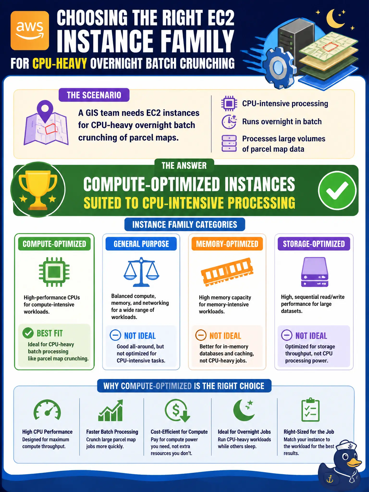
A GIS team needs EC2 instances for CPU-heavy overnight batch crunching of parcel maps. Which instance family category best fits that workload?
Select an answer to reveal the explanation.
Short Explanation
Parcel crunching that burns CPU all night wants compute-optimized EC2—think race-car engines, not giant cargo holds. Storage-optimized and memory-optimized shine for disk and RAM-heavy jobs; tiny burstable bastions are the wrong gear for serious batch GIS.
Full Explanation
A GIS team that needs EC2 instances for CPU-heavy overnight batch crunching of parcel maps should choose compute-optimized instances. Compute-optimized families emphasize high-performance processors for compute-bound workloads such as batch processing, media transcoding, high-performance web servers, and scientific modeling. Parcel-map crunching that saturates CPU for hours fits that category better than storage-first or memory-first families when the observed bottleneck is processor time rather than RAM size or raw disk throughput.
Storage-optimized instances target high sequential disk I/O and local storage throughput; they are not “only for cold tape archives,” and they are the wrong first pick when the stem stresses CPU-heavy processing. Burstable tiny instances sized for idle bastion hosts lack sustained CPU for overnight GIS batches and will throttle under prolonged load. Memory-optimized instances shine when large working sets must reside in RAM; selecting them “only when no CPU work exists” is a caricature, and they still are not the best match when the question explicitly calls out CPU-intensive overnight crunching.
Exam caveat: Match the instance family to the bottleneck—compute (CPU), memory (RAM), storage (local disk I/O), accelerated (GPU/FPGA), general purpose (balanced). GIS CPU batch work maps to compute-optimized at Cloud Practitioner depth.
Operational check: profile a representative parcel job’s CPU utilization and runtime, pick a compute-optimized type, run overnight under a cost-controlled batch or Spot pattern where policy allows, write outputs to S3, and compare against a general-purpose baseline before standardizing the GIS AMI and runbook for the planning department.