
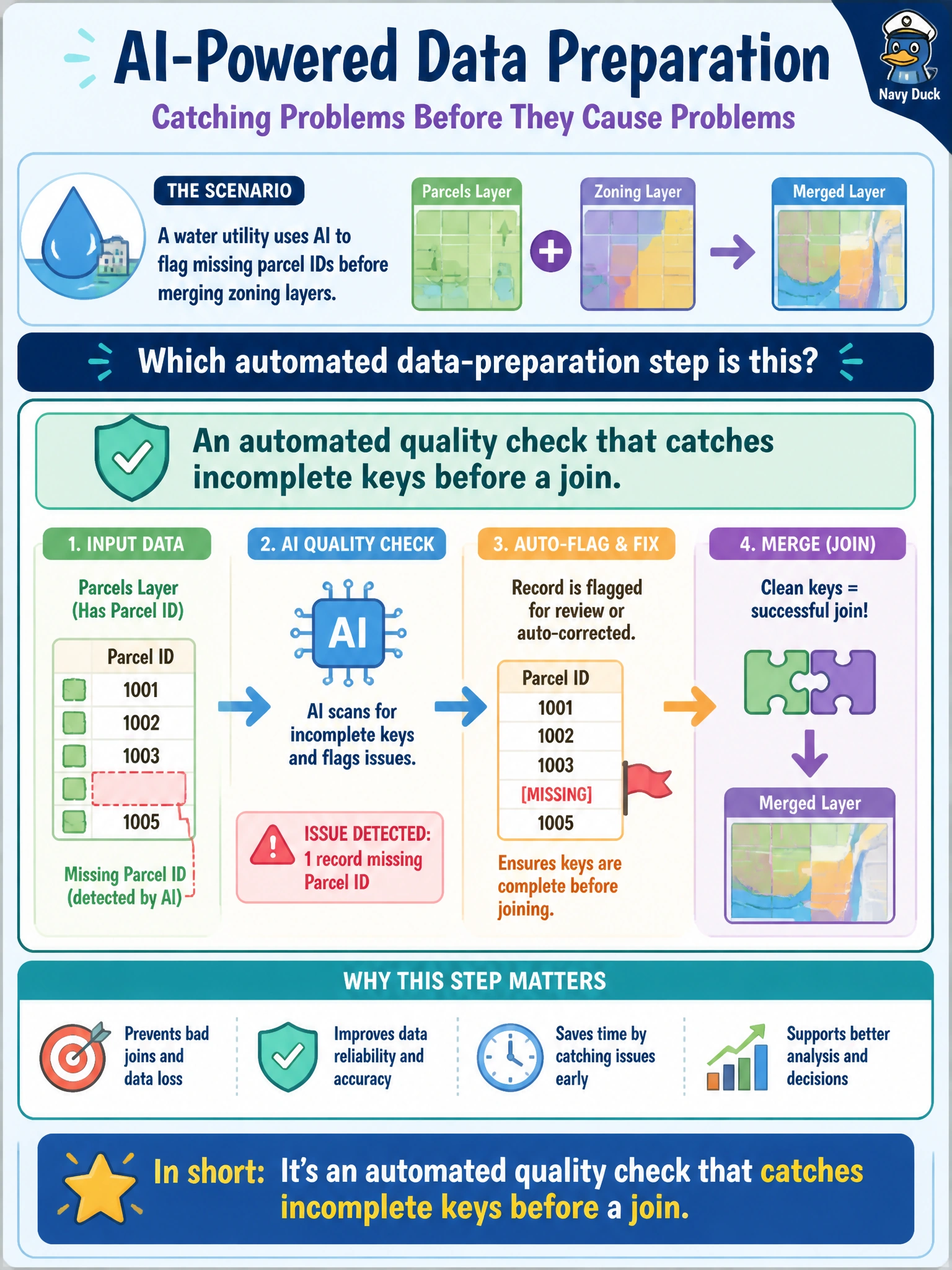
A water utility uses AI to flag missing parcel IDs before merging zoning layers. Which automated data-preparation step is this?
Select an answer to reveal the explanation.
Short Explanation
Missing parcel IDs before a zoning merge are like missing house numbers before the mail route. AI can flag the blanks so the join does not invent ghosts. Flagging incompleteness is prep quality control—not rewriting deeds.
Full Explanation
Flagging missing parcel IDs before merging zoning layers is an automated data-preparation quality check: incomplete join keys are detected so the water utility (or GIS team) can remediate before a merge invents unmatched or duplicated spatial relationships. That prep step reduces silent join loss and junk polygons in downstream analysis. AI assistance here is pattern detection and exception listing within a governed prep workflow, not legal certification of ownership.
Final legal certification of parcel ownership fails because title and ownership conclusions belong to assessor/recorder legal processes, not to a missing-key flagger in a zoning merge. Live rewriting of county deed books fails by concept: prep quality checks must not mutate authoritative land records. Training a diffusion model on meter photos fails as a category error—the task is structured key completeness before a join, not generative imagery.
Exam caveat: A present parcel ID can still be wrong (transposed, retired, or jurisdiction-mismatched); missingness checks are necessary but not sufficient. Spatial joins also need CRS and validity checks beyond key presence.
Operational check: Run an automated completeness check on parcel ID before the zoning merge, quarantine rows with blanks for GIS remediation, measure match rates after fix, and keep deed/ownership systems read-only from the prep pipeline. Document the rule that AI may flag incompleteness but may not rewrite legal source records.