
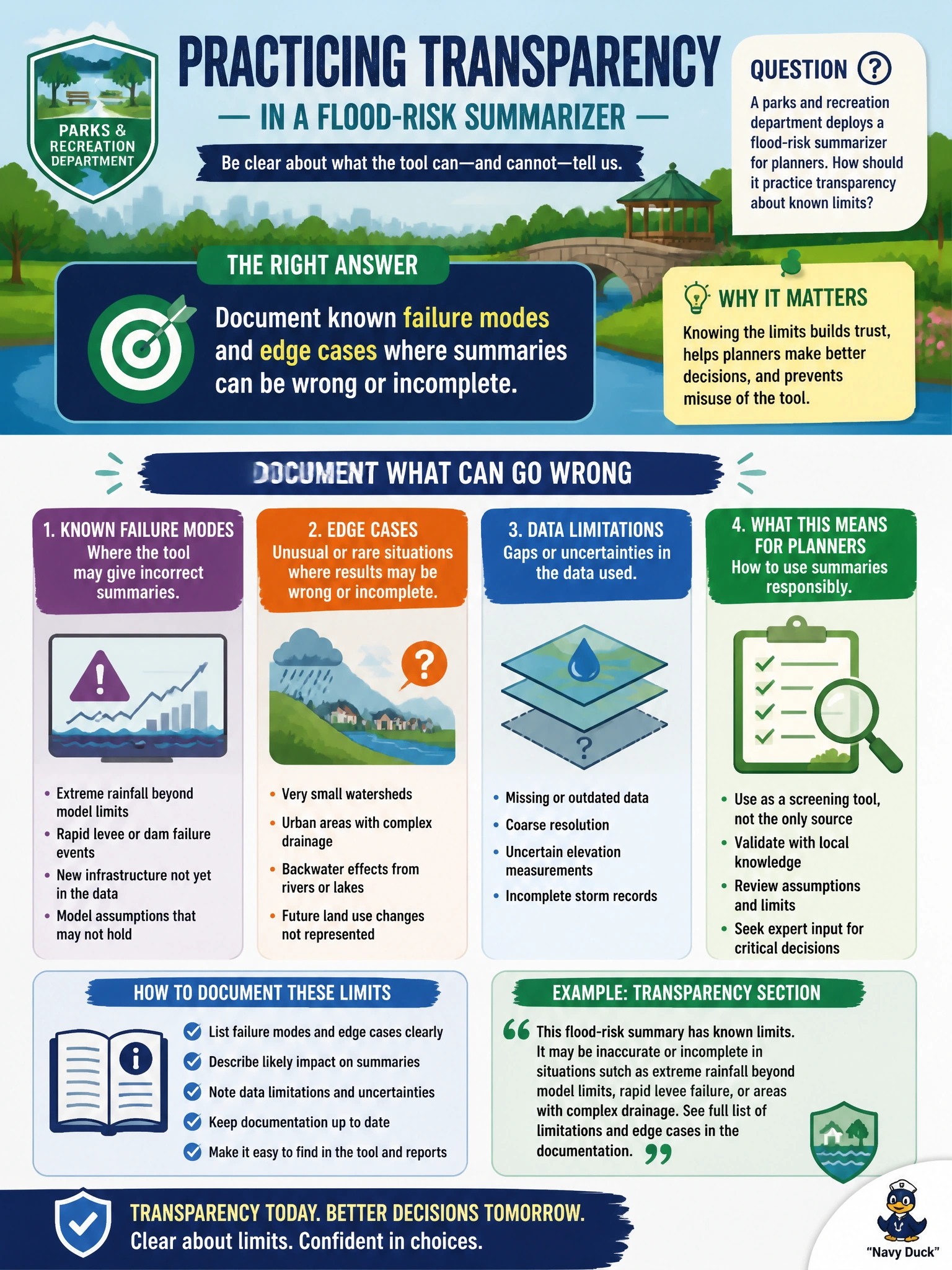
A parks and recreation department deploys a flood-risk summarizer for planners. How should it practice transparency about known limits?
Select an answer to reveal the explanation.
Short Explanation
Transparency isn’t a glossy brochure—it’s the sticky note that says “weak on older LiDAR parcels.” Documenting failure modes keeps planners from trusting a flood summary past its warranties.
Full Explanation
Transparency about limits for a parks-and-recreation flood-risk summarizer means documenting known failure modes and edge cases—sparse sensor coverage, outdated elevation layers, unusual compound flooding, or missing maintenance data—where summaries can be wrong or incomplete. Planners then treat outputs as decision support with stated caveats rather than as authoritative hydrology. Publishing limitations is a responsible-AI transparency practice that reduces misuse when capital planning or emergency prep is under time pressure.
Claiming the summarizer never errs under any weather scenario is false assurance that invites over-reliance. Deleting error reports so leadership never sees limitations sabotages governance and learning. Advertising perfect accuracy in every press release conflicts with evidence-based municipal risk communication and sets the department up for public failure.
Exam caveat: a static limitations PDF goes stale when models, data feeds, or geography change; transparency needs versioned updates tied to releases. Also document what the tool does not cover (e.g., parcel-level insurance advice).
Operational check: maintain a living failure-mode register, map each mode to an example query that fails, require planners to acknowledge documented limits during onboarding, and sample production summaries for known edge cases on a fixed review cadence.