
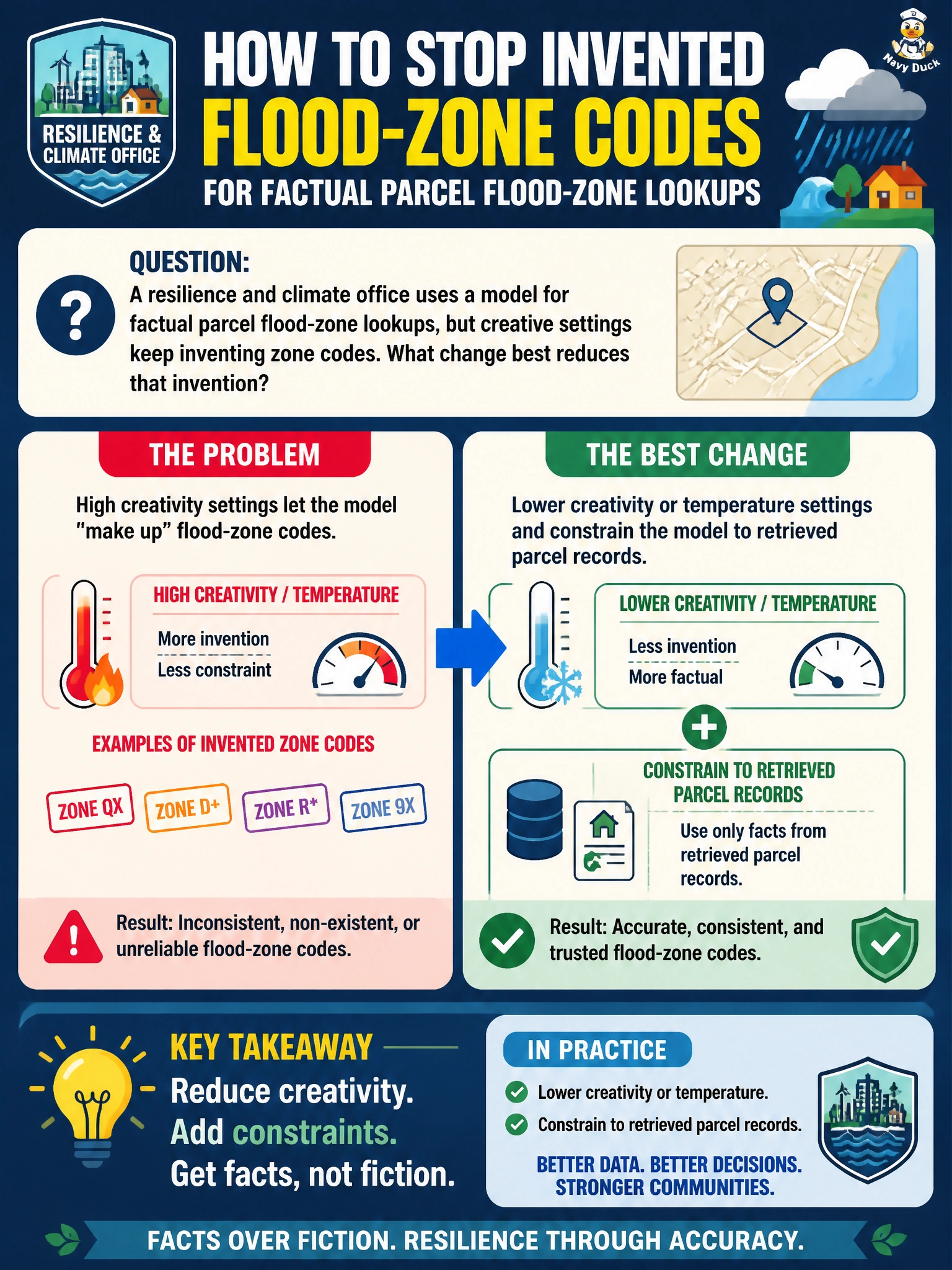
A resilience and climate office uses a model for factual parcel flood-zone lookups, but creative settings keep inventing zone codes. What change best reduces that invention?
Select an answer to reveal the explanation.
Short Explanation
Think of temperature like spice on a kitchen line: dial it up for creative menus, dial it down when you need the exact flood-zone code on the parcel card. Pair that lower creativity with “use only retrieved records,” and the model stops inventing zone labels.
Full Explanation
For factual municipal parcel flood-zone lookups, generation settings that encourage invention are the wrong control surface. High temperature or "creative" decoding increases sampling entropy, which raises the chance of fluent but fabricated zone codes, nicknames, and map-like details that never appear in the parcel record. The resilience and climate office needs deterministic grounding: lower creativity or temperature so the model prefers high-likelihood tokens from context, then constrain answers to retrieved parcel sources—RAG snippets, GIS attributes, or ordinance tables—so the assistant may only report codes present in those records. That combination shrinks hallucination without removing the model’s usefulness for phrasing a clear clerk-facing answer.
Raising temperature and inviting poetic nicknames deliberately widens invention; poetic labels are not flood-zone identifiers residents or insurers can act on. Disabling retrieval removes the factual anchor entirely, so the model falls back on parametric guesswork and invents zoning lore. Role-playing as a novelist drafting fictional maps reframes the task as creative writing, which conflicts with a civic lookup duty of care.
Exam caveat: lowering temperature reduces—but does not eliminate—hallucination; without retrieved constraints or a refusal when the parcel is missing, a calm-sounding model can still invent a code. Operational check: pick a known parcel, run the same query at high versus low creativity with retrieval on, and verify the returned zone matches the authoritative GIS or FEMA layer and cites the retrieved field rather than a free-invented label.