
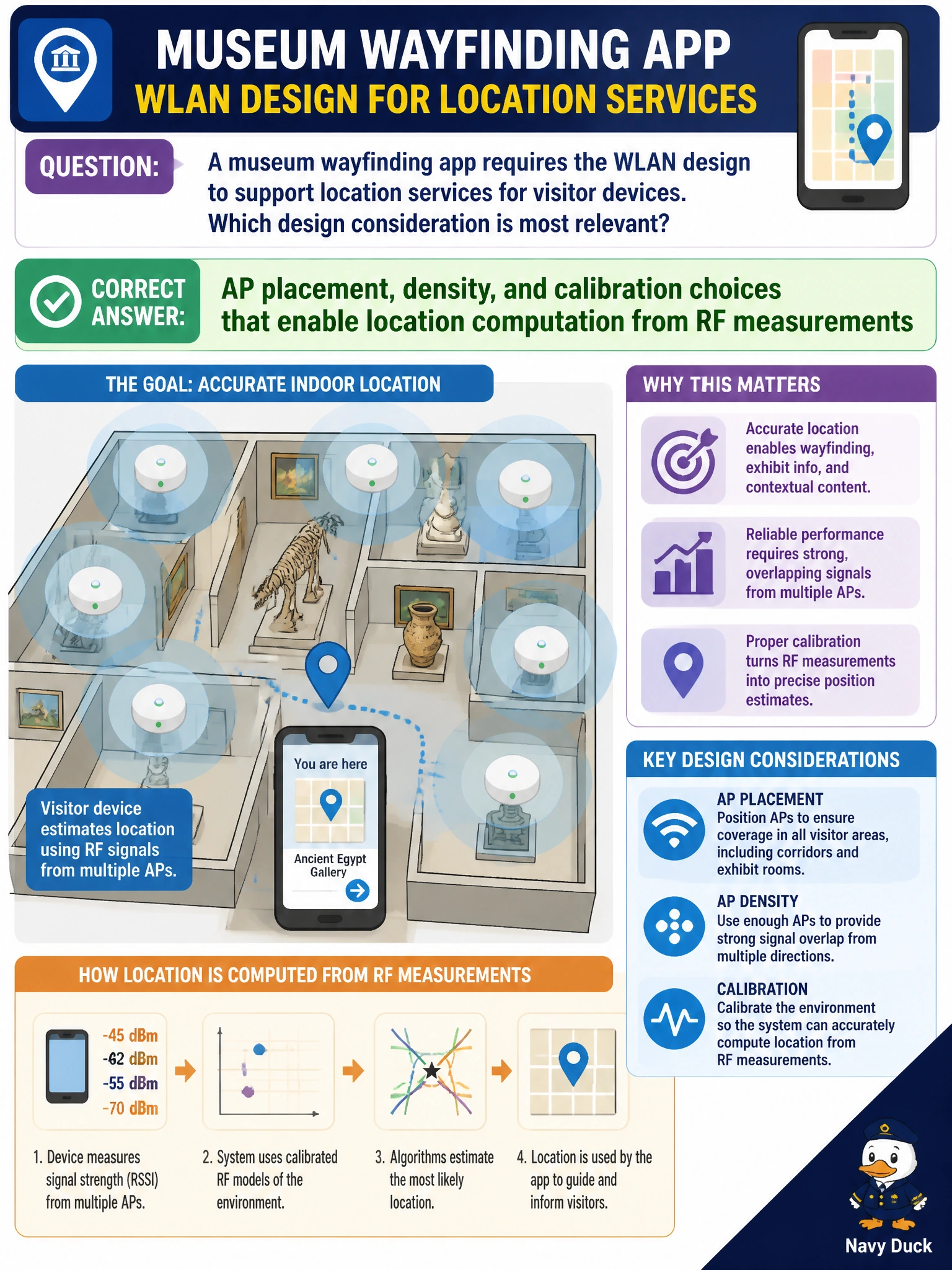
A museum wayfinding app requires the WLAN design to support location services for visitor devices. Which design consideration is most relevant?
Select an answer to reveal the explanation.
Short Explanation
Location is triangulation with radio breadcrumbs. You need APs placed and calibrated so the system can hear devices from enough angles—not empty galleries and crossed fingers.
Full Explanation
A museum wayfinding app that requires WLAN support for location services depends on AP placement, density, and calibration choices that enable location computation from RF measurements. Location engines need sufficient geometry and signal samples (RSSI and, depending on the system, angle or timing inputs) to estimate visitor device positions. Gallery coverage planned only for casual browsing is often too sparse or poorly calibrated for reliable wayfinding.
Removing all APs from galleries so RSSI cannot be measured destroys the measurement base. Forcing every visitor into ad-hoc mode so the WLC never sees probe requests removes infrastructure visibility needed for many location designs. Using only 2.4 GHz DFS radar channels to improve Bluetooth badge accuracy confuses bands, DFS rules, and Bluetooth with Wi-Fi location planning and is not a sound design principle.
Exam caveat: Location readiness is an RF design problem—placement, density, calibration—not an excuse to remove APs or invent ad-hoc/DFS shortcuts.
Operational check: survey galleries for location-grade AP density and geometry, calibrate the location system, and validate wayfinding accuracy with test devices along museum paths before public launch.