
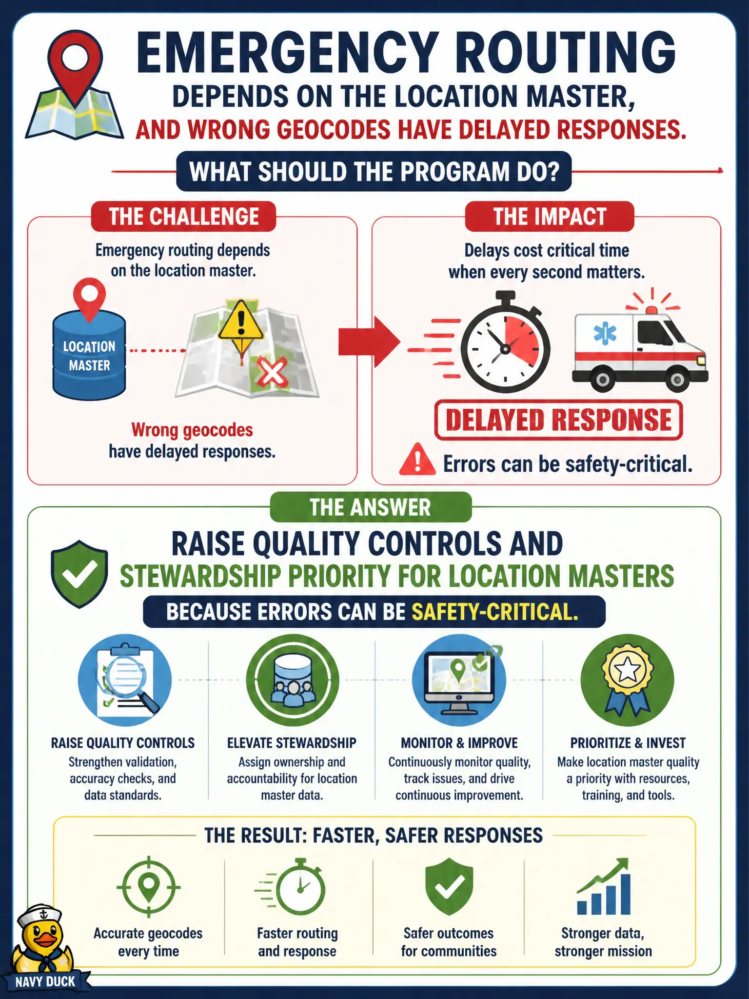
Emergency routing depends on the location master, and wrong geocodes have delayed responses. What should the program do?
Select an answer to reveal the explanation.
Short Explanation
Bad geocodes aren’t a tidy-data inconvenience when ambulances use them. Location masters that support emergency routing need stricter quality and stewardship.
Full Explanation
When emergency routing depends on the location master and wrong geocodes have delayed responses, the program should raise quality controls and stewardship priority for location masters because errors can be safety-critical. Civic location quality is a life-safety concern, not decorative GIS polish. Treating location attributes as optional decorative fields with no validation fails that duty. Disabling geocode checks to speed overnight batch loads trades minutes of ETL for delayed emergency response. Allowing any user to overwrite coordinates without review or logging destroys integrity and accountability. Exam caveat: safety-critical master domains deserve elevated DQ and stewardship priority. Operational check: tighten geocode validation, restrict who can edit coordinates, sample critical-facility locations with operations, and escalate defects before storm season. Brief the municipal emergency management liaison on location-master KPIs so safety owners see the data risk. Keep verification evidence with the municipal runbook so audits can prove the chosen control was applied as designed and that rejected alternatives would have left city services exposed to the failure modes described above.