
A municipal GIS team runs frequency counts and null rates on a new parcel extract before trusting it for mapping. What is the primary purpose of this statistical profiling?
Select an answer to reveal the explanation.
Short Explanation
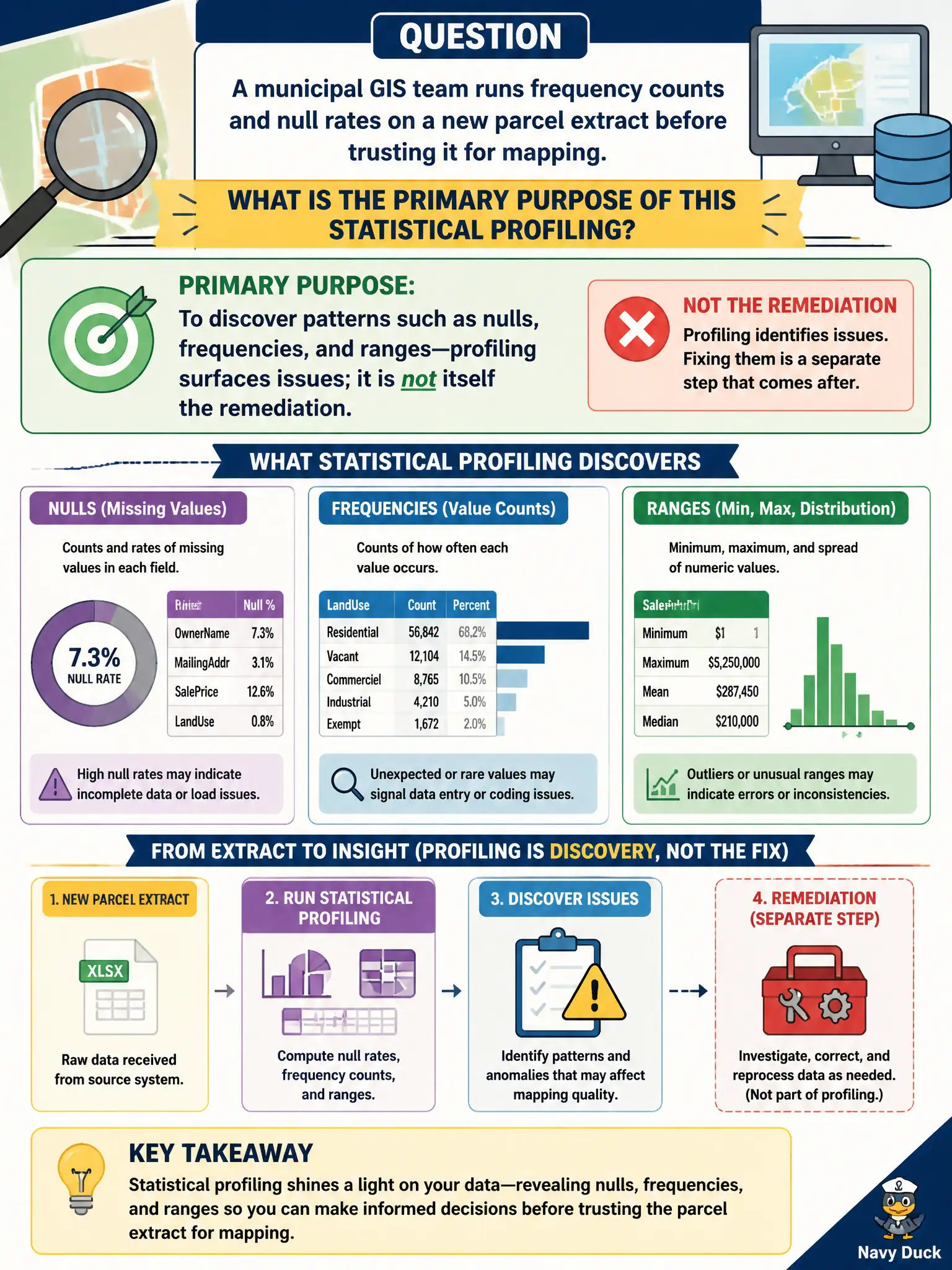
Profiling is the flashlight, not the repair kit—you shine it around to see what is weird before you rewrite rules. Frequency counts and null rates reveal shape and gaps. Discovery first; cleanup and rules come after.
Full Explanation
Statistical profiling examines distributions, null rates, ranges, and frequencies to discover the state of the data. When a municipal GIS team runs frequency counts and null rates on a new parcel extract before trusting it for mapping, the primary purpose is discovery: profiling surfaces issues; it is not itself remediation. Expecting profiling to permanently fix every defect without reviewing business rules confuses measurement with correction and stewardship. Replacing stewardship with automated deletion of all rare values can destroy legitimate uncommon parcels and is not what profiling authorizes. Certifying legal ownership of parcels from null percentages alone overclaims what descriptive statistics can prove. Exam caveat: profiling informs risk assessment and rule design but does not replace business confirmation of codes, sentinels, or cadastral exceptions. Operational check: profile null rate and key frequency on parcel ID and zoning fields, list anomalies for the cadastral steward, then write rules or quarantine criteria—do not auto-delete from the profile alone. City planning and assessor teams should store profiling snapshots with each extract so later disputes show what was known before the layer went live.