
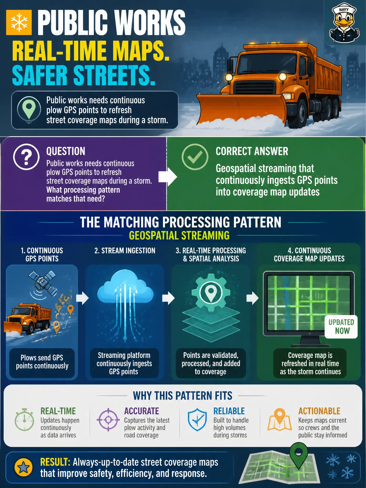
Public works needs continuous plow GPS points to refresh street coverage maps during a storm. What processing pattern matches that need?
Select an answer to reveal the explanation.
Short Explanation
Plow tracks during a blizzard are a moving picture, not a yearbook photo. Streaming geospatial updates keep the coverage map painting streets as the trucks roll.
Full Explanation
Continuous plow GPS points that refresh street coverage maps during a storm match geospatial streaming: ingest location events continuously and update coverage as vehicles move. Public works sees progress while the storm is active, not weeks later. A static printed atlas updated only after storm season ends cannot guide same-day routing. Deleting GPS points immediately so maps never show vehicle locations defeats coverage tracking. Restricting Spark to spreadsheet pivots with no location fields ignores geospatial stream processing capabilities used in city operations. Exam caveat: geospatial streams need map-matching, coordinate reference consistency, and privacy rules for vehicle telemetry. Operational check: stream a plow GPS trace through the pipeline during a drill, verify street segments flip to covered in near real time on the operations map, and confirm late points still update coverage under the chosen window policy. In production terms for geospatial streaming for plow coverage, assign an owning team, wire a dashboard that shows the pattern is healthy under peak civic load, and require a staging drill that rehearses failure and recovery before resident impact. Revisit the choice when traffic shape, retention, or integrity needs change, and keep a named rollback owner on the change record. Re-test both the happy path and the failure path for geospatial streaming for plow coverage after material dependency upgrades so regressions are caught before the next public release.