
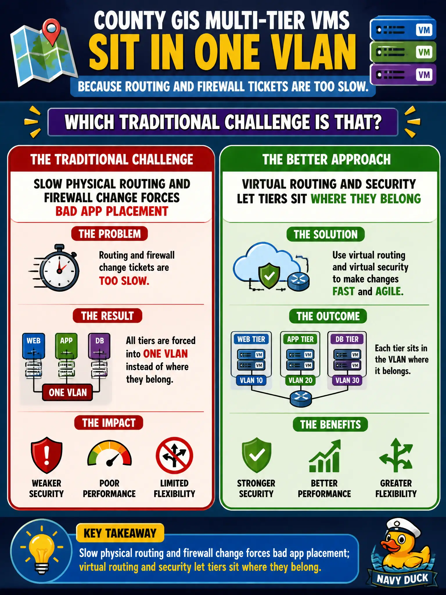
County GIS multi-tier VMs sit in one VLAN because routing and firewall tickets are too slow. Which traditional challenge is that?
Select an answer to reveal the explanation.
Short Explanation
Cramming every GIS tier onto one VLAN is a workaround for a slow ticket queue, not good design. Virtual routing and DFW let web, app, and data live on the right segments without waiting on the core. The county should not flatten the app just to dodge change control.
Full Explanation
Slow physical routing and firewall change forces bad application placement, such as parking all county GIS multi-tier VMs in one VLAN. Virtual routing and security let tiers sit where they belong on separate segments with software gateways and distributed firewall rules. Placing all GIS tiers in one VLAN is not an NSX-T requirement. Carbon Black device control does not force a single VLAN. Horizon App Volumes do not require web/app/data on one VLAN. Exam caveat: tier separation still needs IP planning and Tier-1 design; software speed removes the excuse, not the architecture work. Operational check: place GIS web, app, and data on separate segments with explicit allow rules and confirm east-west paths match the intended tier model. Keep municipal naming and change tickets aligned with the software objects so civic audits can trace intent. Prefer verifying with a non-production agency workload before promoting the same pattern to life-safety systems. Record realization state and underlay health in the runbook used by on-call city operators. Keep municipal naming and change tickets aligned with the software objects so civic audits can trace intent. Prefer verifying with a non-production agency workload before promoting the same pattern to life-safety systems.