
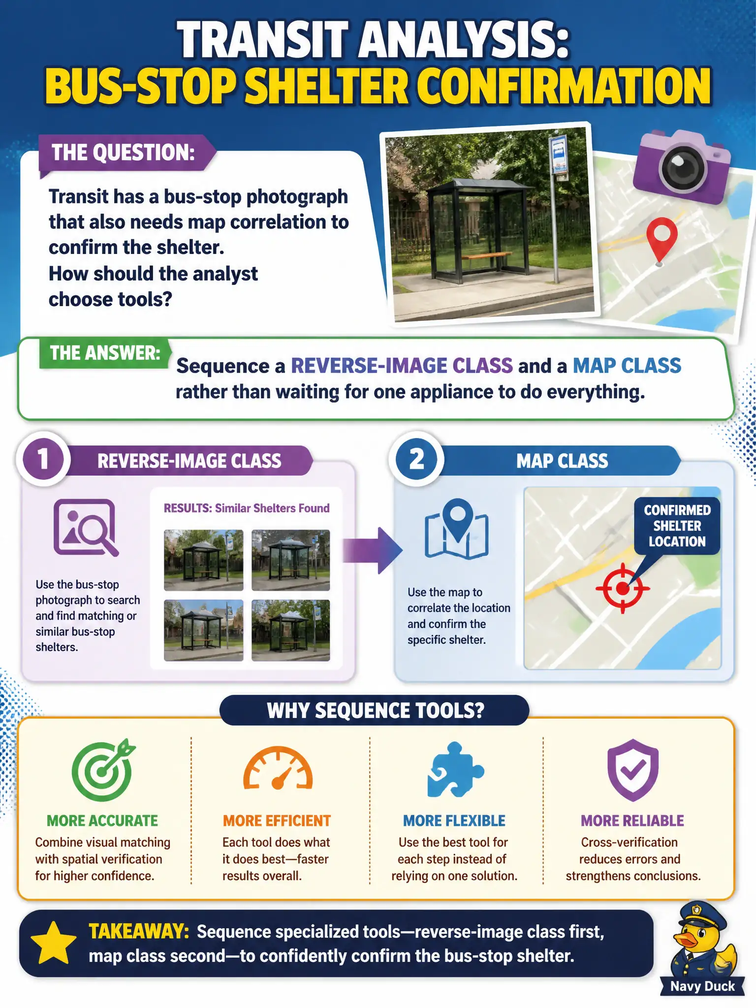
Transit has a bus-stop photograph that also needs map correlation to confirm the shelter. How should the analyst choose tools?
Select an answer to reveal the explanation.
Short Explanation
Real jobs often need two drawers: picture tools, then map tools. You do not wait for a magic all-in-one box. Reverse-image, then geo, is a normal civic sequence.
Full Explanation
Many civic questions require a sequence of tool classes rather than one appliance. When transit has a bus-stop photograph that also needs map correlation to confirm the shelter, the analyst should sequence a reverse-image class and a map class—image work first for landmarks or matches, then public maps for confirmation—keeping each step sourced.
Delaying work until a single do-everything SKU is procured stalls a solvable two-step problem. Using only a phone-listing tool because the photo might contain digits ignores the primary visual evidence. Port-scanning the bus CAD vendor as the method for locating the stop is network attack tradecraft unrelated to photo geolocation.
Exam caveat: reverse-image hits can be wrong or generic; map confirmation and additional public context reduce error before telling transit the shelter is confirmed.
Operational check: run reverse-image on the photo, note candidate landmarks, corroborate on public maps with citations and dates, and only then report shelter confirmation—without waiting on a universal SKU or scanning vendors. In municipal practice, keep the wording tied to public artifacts, retrieval dates, and the authorized civic question so peers can re-perform the work without guessing intent.