
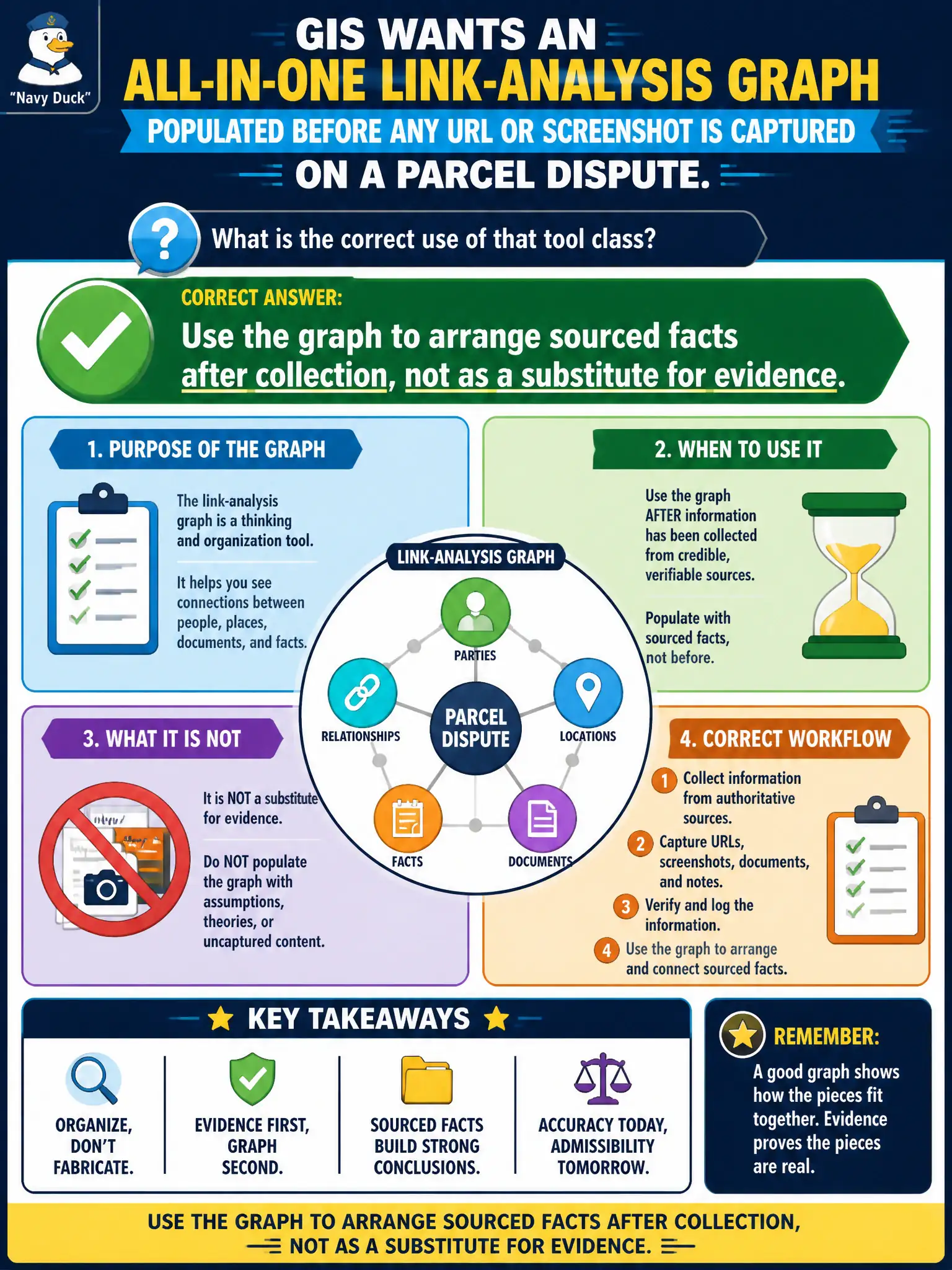
GIS wants an all-in-one link-analysis graph populated before any URL or screenshot is captured on a parcel dispute. What is the correct use of that tool class?
Select an answer to reveal the explanation.
Short Explanation
A graph is a whiteboard, not a crystal ball. It only shows facts you already collected. Capture sources first, then arrange them—empty nodes are not evidence.
Full Explanation
Link-analysis and graph UIs display relationships among identifiers the analyst has already sourced; they do not create evidence. When GIS wants an all-in-one graph populated before any URL or screenshot is captured on a parcel dispute, the correct use is to arrange sourced facts after collection—not to treat the empty canvas as a substitute for evidence or as the official civic report.
Running the empty graph and treating default nodes as findings invents structure without sources. Skipping notes because the graph canvas is the official report leaves reviewers without locators and timestamps. Pointing graph transforms at the city's closed utility-billing screens mixes closed systems into what should be public-source OSINT.
Exam caveat: graphs are visualization aids; every node and edge still needs an underlying public source citation when used in a municipal packet.
Operational check: collect parcel-related public URLs, filings, and screenshots first; then optionally arrange those sourced identifiers in a graph; and keep the notes/report as the system of record—not an empty GIS canvas. In municipal practice, keep the wording tied to public artifacts, retrieval dates, and the authorized civic question so peers can re-perform the work without guessing intent.