
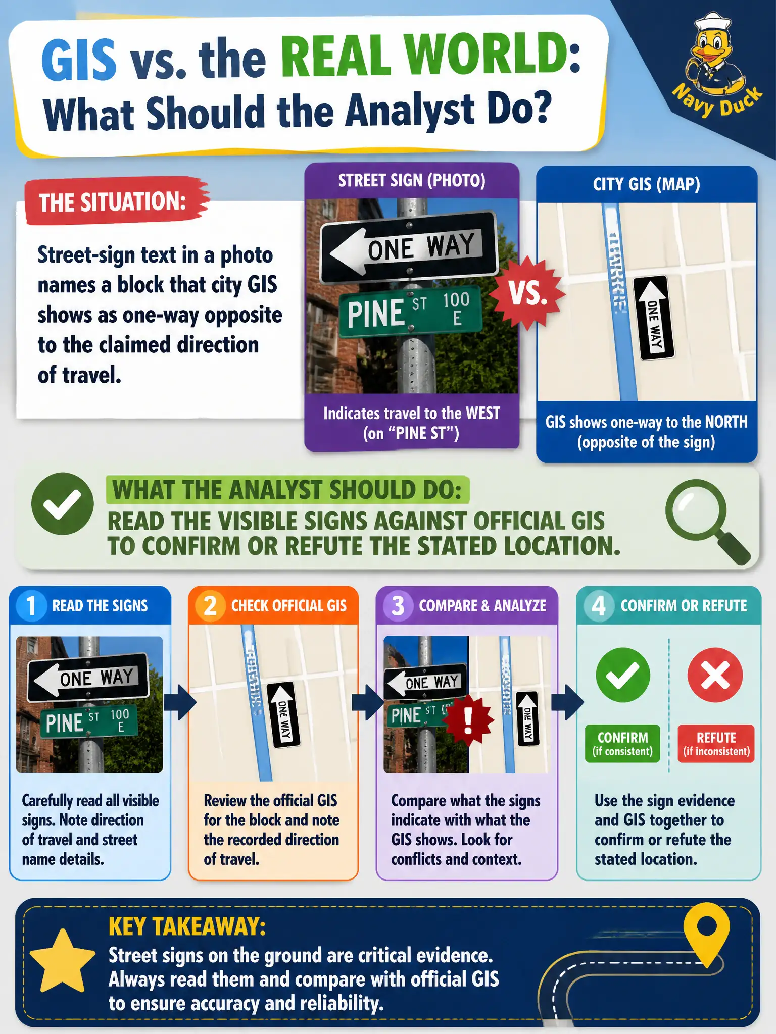
Street-sign text in a photo names a block that city GIS shows as one-way opposite to the claimed direction of travel. What should the analyst do?
Select an answer to reveal the explanation.
Short Explanation
Street signs are captions printed on metal. If GIS says that block runs the other way, the story or the place is wrong. Check the furniture against the city’s own map instead of tossing either source.
Full Explanation
Readable street-sign text that names a block is an on-image civic location key and should be checked against official GIS, one-way inventories, and posted traffic-control records. When signs and GIS show travel direction opposite the complainant’s claimed path, the analyst must treat the conflict as a location or narrative problem to resolve before enforcement or dispatch decisions. Trusting the travel story because “drivers know one-way rules better than GIS” privileges an unverified claim over public records and visible signs. Assuming GIS is always stale without checking layer update metadata discards a primary municipal source that is often authoritative for current control. Redacting the sign from the working copy removes the best location pivot in the frame and weakens later review. Civic OSINT should reconcile on-image regulatory text with agency maps. Exam caveat: PORP expects analysts to read street furniture and signs against GIS rather than choosing narrative convenience when they conflict. Operational check: transcribe the sign exactly, query the block and directionality in GIS, compare to the claimed direction of travel, document the mismatch with screenshots of both sources, and request clarifying photos or a site visit before acting on the complainant’s route story alone.