
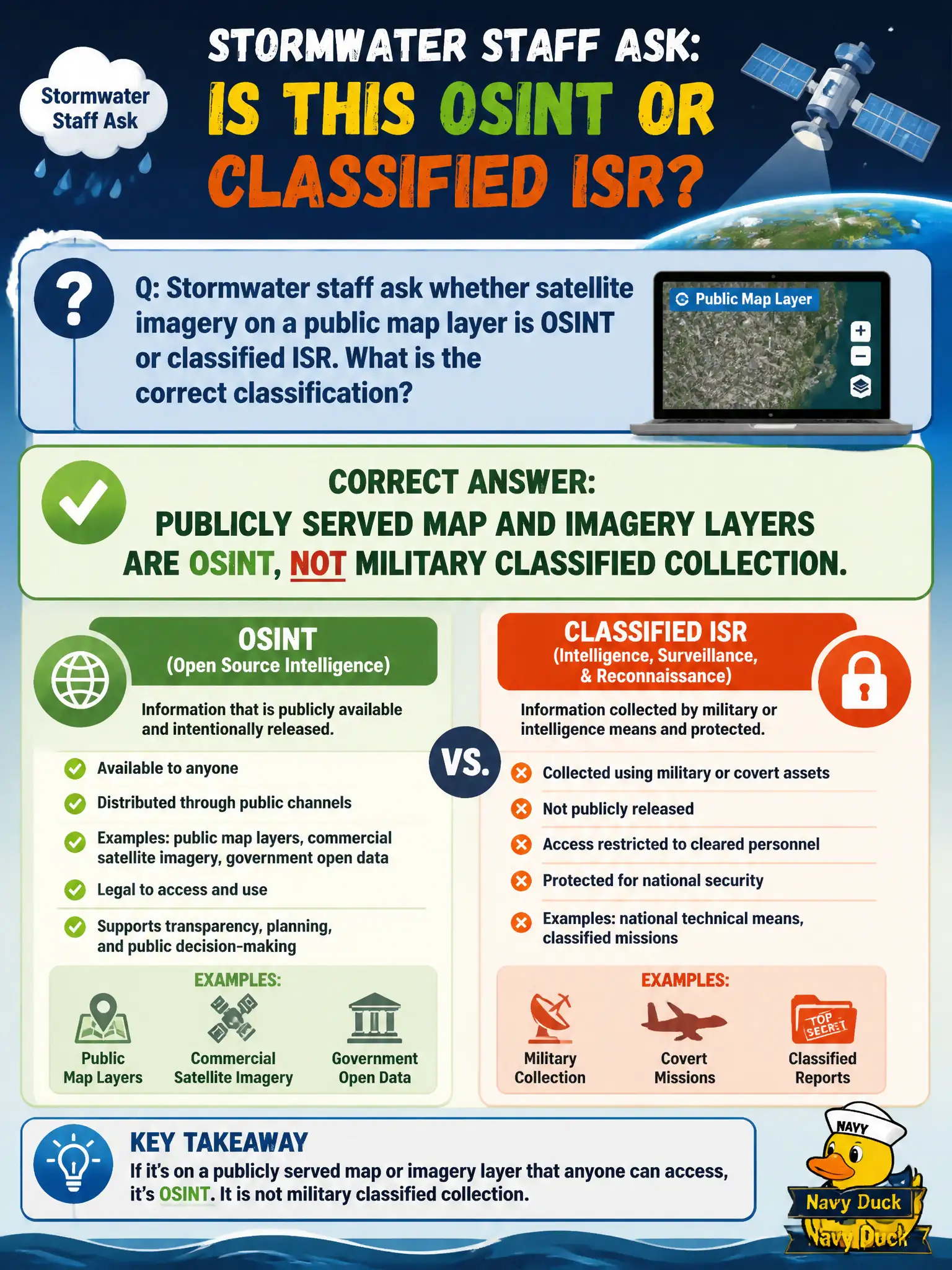
Stormwater staff ask whether satellite imagery on a public map layer is OSINT or classified ISR. What is the correct classification?
Select an answer to reveal the explanation.
Short Explanation
A weather map on the library kiosk is not a spy-satellite briefing. If the imagery is served on a public map layer, it is an open source. Classified collection lives behind a very different door.
Full Explanation
Publicly served map and imagery layers available to anyone who opens the civic GIS viewer are OSINT, not military classified ISR collection. Stormwater staff can treat those tiles as open-source basemap evidence when they document the URL, layer name, and retrieval time. Declaring any satellite picture classified regardless of publication channel ignores the difference between restricted collection systems and imagery that a city deliberately publishes. Claiming public map tiles become SIGINT when a city employee views them confuses viewer identity with signals intelligence and invents a classification change that viewing cannot create. Restricting OSINT to printed paper maps while excluding digital imagery is an arbitrary format rule that would discard most modern civic geospatial sources. Exam caveat: separately controlled government imagery products that are not publicly released remain outside OSINT even if staff can open them on an internal terminal. Operational check: confirm the layer loads in an unauthenticated public map client or documented open-data service before labeling it OSINT, and cite the public locator rather than an internal mosaic name. Keep the civic purpose, method limits, and exhibit labels aligned so reviewers can see what was public-source work versus other authorities.