
Stormwater visualization needs per-element flood depth on flood meshes. How should that analytic value be authored?
Select an answer to reveal the explanation.
Short Explanation
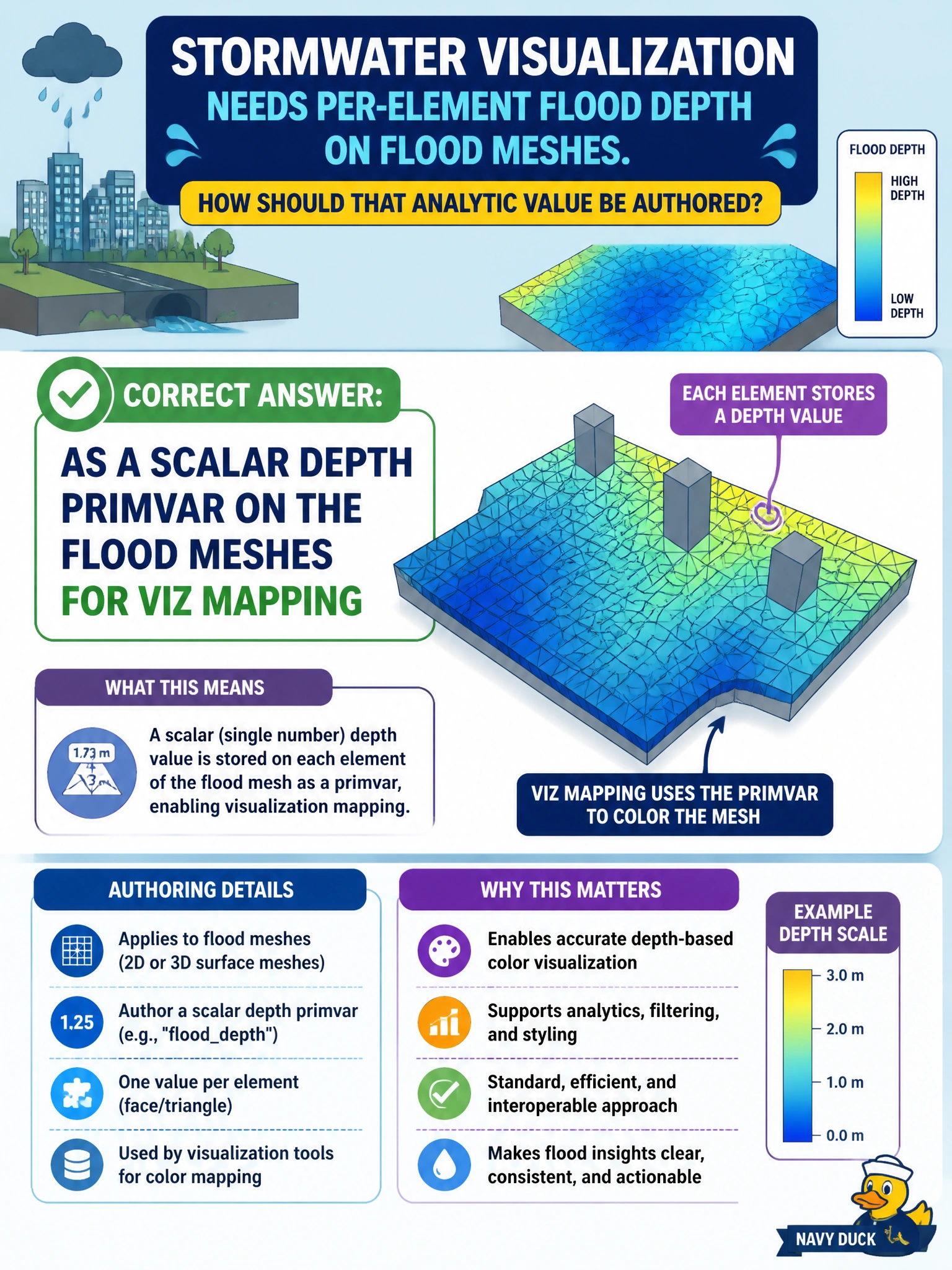
Flood depth for viz is a scalar primvar on the flood mesh, not a comment or a camera knob. Author the analytic where shading and tools can sample it. Kind tokens are for classification, not water depth.
Full Explanation
Flood visualization on municipal flood meshes needs the analytic depth value where shading and tools can sample it—as a scalar primvar on the flood mesh. Authoring depth as a primvar (constant, vertex, or face-varying depending on how depth varies) lets Hydra/material graphs and analysis scripts map water depth without misusing comments, kind, or camera attributes. That is the OpenUSD data-modeling path for civic analytics bound to geometry.
Encoding depth only in USDA comments is not queryable runtime data and disappears in binary crates or tooling that strips comments. Storing depth as the kind token string abuses asset classification metadata and prevents numeric mapping. Placing depth as a camera focalLength timesample ties analytics to a camera prim and breaks as soon as another view or offline tool runs without that camera.
Exam caveat: choose interpolation to match the flood product—vertex or face-varying for spatially varying inundation, constant for a uniform depth overlay. Units should align with stage metersPerUnit; document whether values are meters of water depth.
Operational check: author a scalar depth primvar on a flood sample, visualize with a depth-driven material or false-color tool, query the primvar via the API, and compose the flood layer under emergency management to ensure depth still resolves after referencing.