
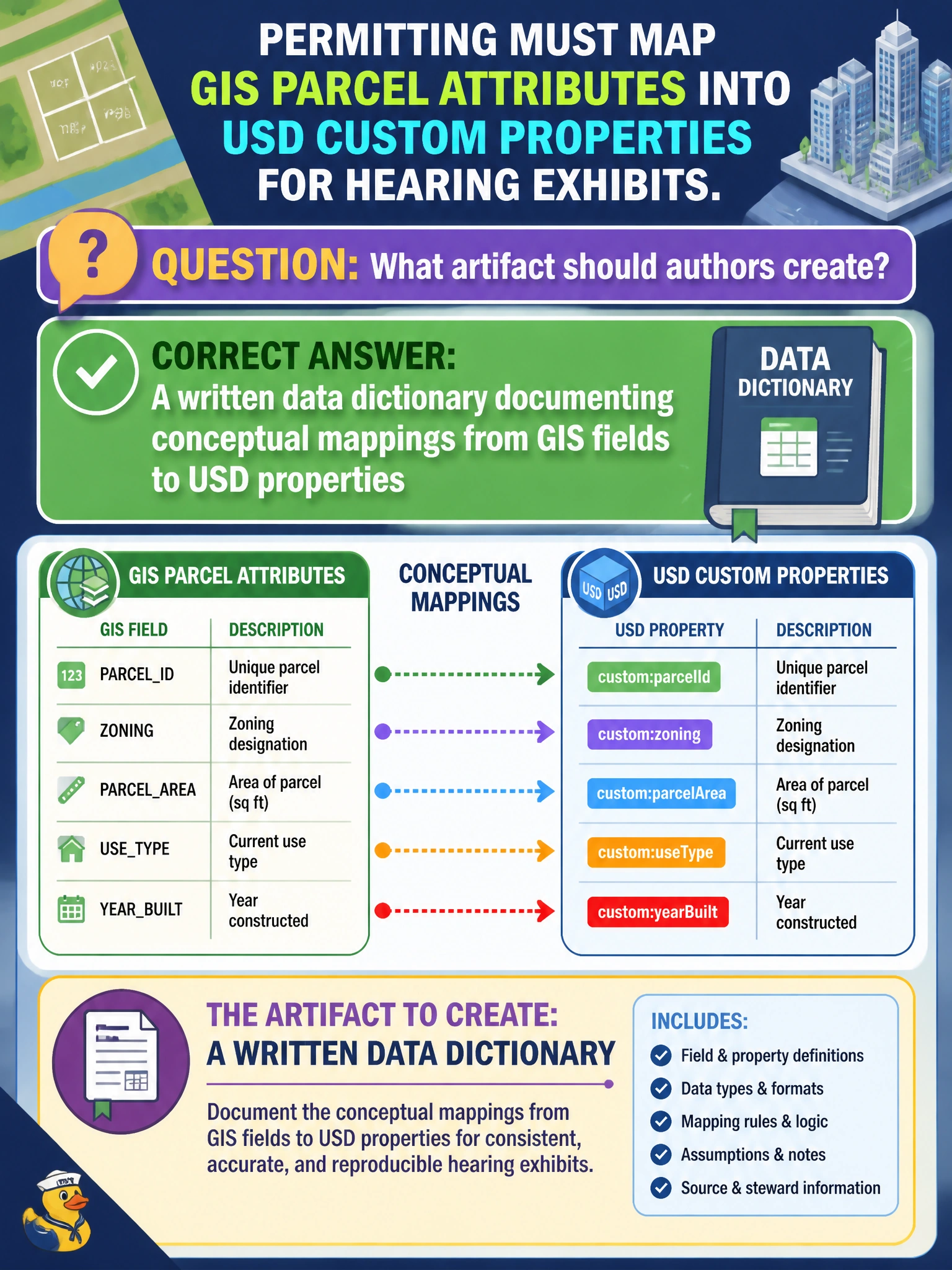
Permitting must map GIS parcel attributes into USD custom properties for hearing exhibits. What artifact should authors create?
Select an answer to reveal the explanation.
Short Explanation
GIS and USD speak different dialects. A written data dictionary is the bilingual phrasebook so parcel fields land on the right USD properties every time.
Full Explanation
Permitting hearing exhibits that pull GIS parcel attributes into USD need a durable bridge between GIS field names and USD custom properties. A written data dictionary documenting those conceptual mappings is the artifact authors should create first: it defines types, units, null handling, cardinality, and which prims receive which fields so every exhibit build stays consistent for boards and the public record.
Forbidding custom properties on parcel prims blocks the metadata the hearing needs and forces ad-hoc workarounds. Storing parcel IDs only inside texture sampler names hides critical identity in an inappropriate shading channel and breaks queryable attribute workflows used by exhibit generators. Flattening GIS into mesh face indices without metadata destroys parcel semantics that hearings and legal review depend on, leaving geometry without attributable ownership context.
Exam caveat: Dictionaries must version alongside schema and GIS source changes—an outdated mapping silently mislabels parcels in exhibits even when the importer reports success.
Operational check: For a sample parcel set, verify each GIS field lands on the documented USD property with expected type and value; reject exhibit packages that carry undocumented, colliding, or type-mismatched custom attributes before the hearing package is sealed.