
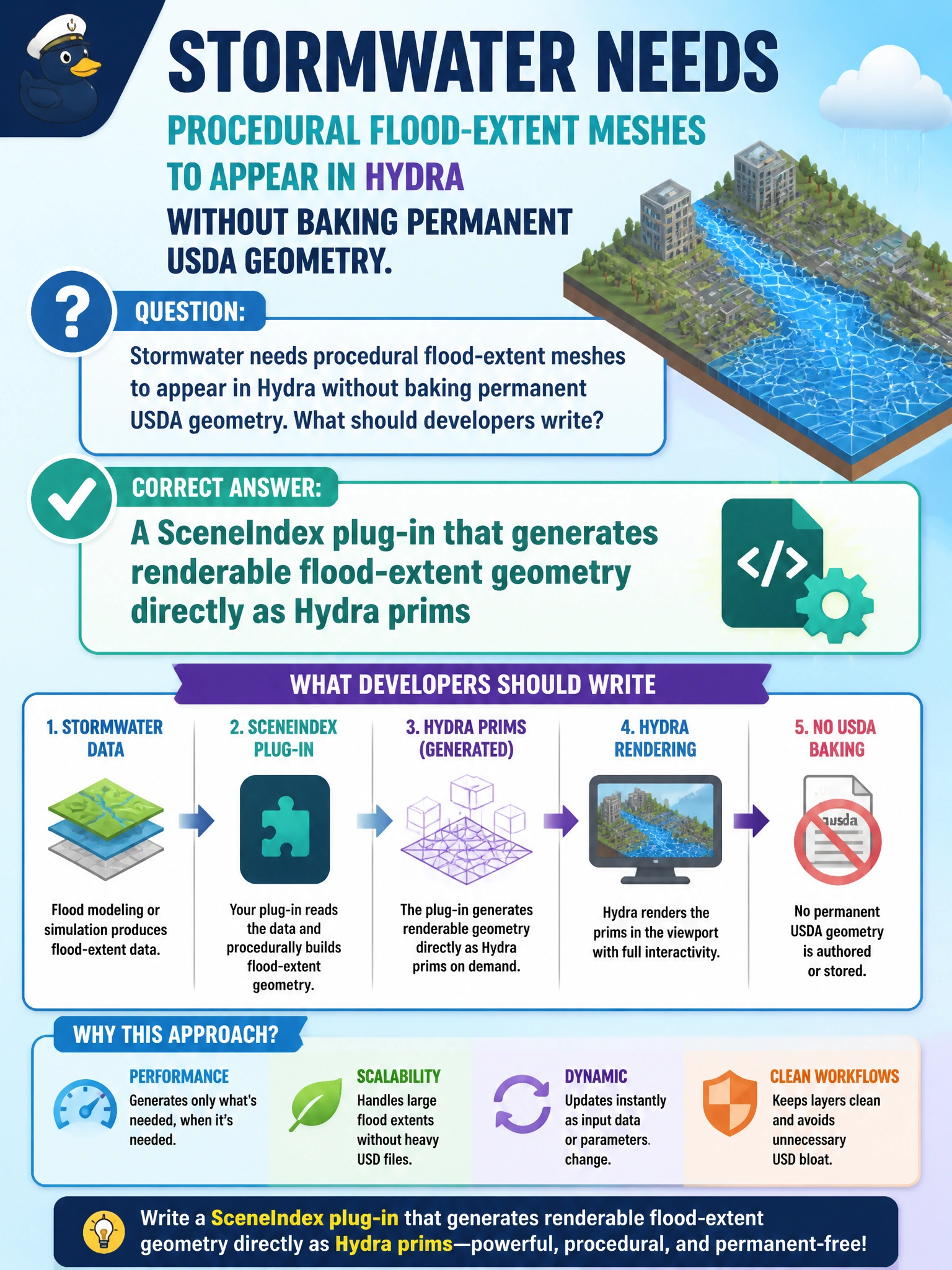
Stormwater needs procedural flood-extent meshes to appear in Hydra without baking permanent USDA geometry. What should developers write?
Select an answer to reveal the explanation.
Short Explanation
Think of SceneIndex as a live stagehand that builds flood meshes for the renderer on demand. You get Hydra-ready geometry without burying permanent flood polygons in every USDA file.
Full Explanation
Stormwater flood-extent visualization for Hydra should be generated at render time rather than baked into permanent USDA geometry that every consumer must carry. A SceneIndex plug-in sits in the Hydra imaging pipeline and can synthesize renderable flood-extent prims on demand from procedural or analytical inputs. That keeps the authored municipal stage lean while still giving operators and stakeholders a live visual of inundation during planning reviews.
Muting the entire LayerStack does not produce flood meshes; it removes composition contributions and can hide the very site context needed for the drill or review. Replacing UsdLux with orthographic camera locks addresses lighting and view projection, not procedural flood geometry, so it fails the stated requirement by concept. Storing flood polygons inside displayColor strings abuses a color attribute as a geometry side channel; Hydra will not interpret those strings as meshes, and downstream tools lose typed, queryable flood extents.
Exam caveat: SceneIndex customization is powerful but renderer- and pipeline-specific—confirm the municipal Hydra stack loads your plug-in and that procedural prims remain optional overlays, not silent replacements of surveyed geometry.
Operational check: Enable the SceneIndex for a known storm scenario, confirm flood-extent meshes appear in the Hydra viewport without new USDA mesh opinions on disk, then disable the plug-in and verify the authored stormwater stage returns to its baseline without residual baked flood geometry.