
A shipping operator needs to design an automated routing engine that ingests real-time streams from highway sensors, weather feeds, and fleet GPS trackers to predict dynamic transit times and optimize dispatches. Which machine learning approach is best suited to extract spatial-temporal features from this complex, multi-modal data?
Select an answer to reveal the explanation.
Short Explanation
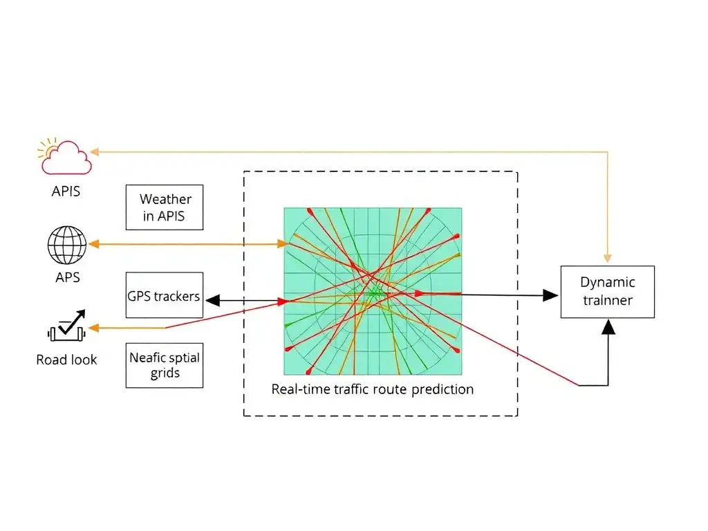
Check this out: real-time routing with weather, GPS, and sensor streams is messy, and shallow models or static rules can't keep up when conditions change. You need a deep learning model, like a spatial-temporal convolutional neural network, to treat the traffic grid like an image and spot spatial-temporal patterns so you can dynamically route the fleet.
Full Explanation
Optimizing delivery routes using real-time, multi-modal streams (GPS telemetry, spatial sensor networks, and weather forecasts) presents a highly complex spatial-temporal problem. Deep learning models, particularly convolutional neural networks adapted for spatial grid data or graph neural networks representing road networks, are uniquely capable of learning hierarchical representations from high-dimensional inputs. They can capture spatial correlations (how congestion in one sector affects adjacent roads) and temporal patterns (how traffic builds over time), enabling accurate, dynamic traffic forecasts.
The alternatives fall short. A shallow decision tree regressor using only historical trip logs is designed for structured, tabular data; when trained solely on historical trip logs, it cannot process real-time spatial arrays or capture the complex, non-linear relationships of live traffic networks. A static, rule-based expert system containing predefined route rules based on historical averages relies on static, human-defined rules (e.g., 'if time is 5 PM, avoid Route 9'). Such a system cannot scale, adapt to novel scenarios (like an unexpected detour), or process raw sensor telemetry dynamically. Applying K-Means clustering to historical coordinates to establish static delivery route regions is designed to group similar data points together; it cannot make real-time predictions, model sequential patterns, or adjust routes dynamically based on incoming traffic feeds.
Modern intelligent transportation systems combine deep learning predictors with pathfinding algorithms (like Dijkstra's or A*) to dynamically recalculate paths as live conditions evolve.