
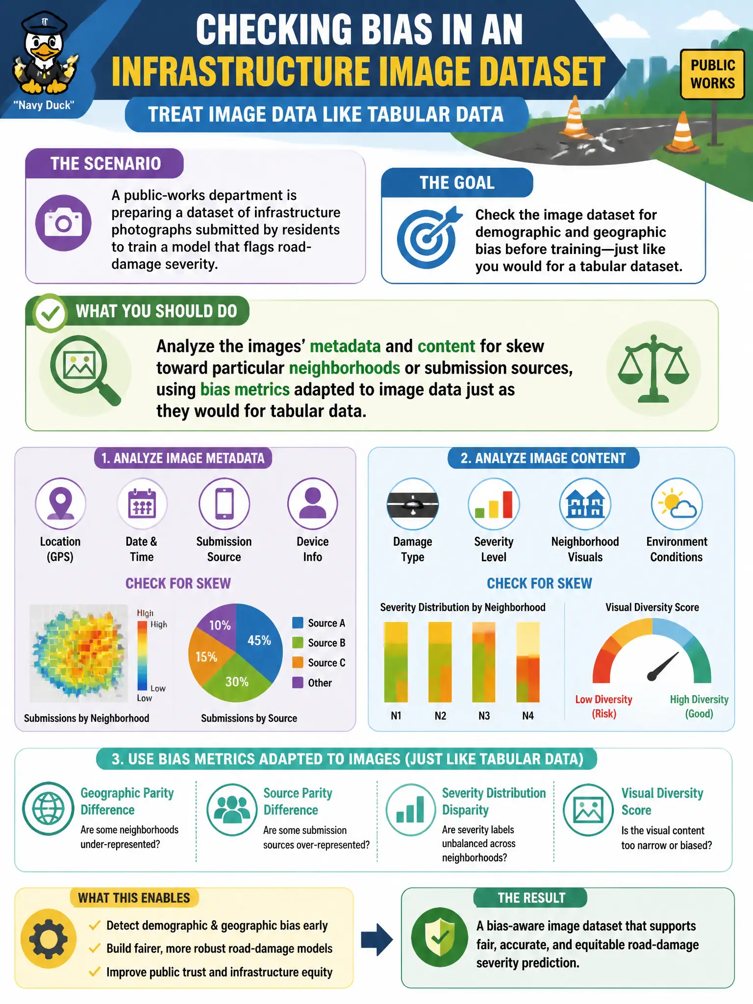
A public-works department is preparing a dataset of infrastructure photographs submitted by residents to train a model that flags road-damage severity. Before training, the team wants to check the image dataset for demographic and geographic bias the same way they would check a tabular dataset. What should they do?
Select an answer to reveal the explanation.
Short Explanation
Bias doesn't care what format the data comes in — a photo dataset that's mostly submissions from one neighborhood is just as skewed as a spreadsheet that is. You check it the same way: look at metadata like submission location and source, and apply bias metrics adapted for images before training even starts. Waiting until evaluation, or assuming it's a tabular-only problem, just means you find the skew after it's already baked into the model.
Full Explanation
Multimodal bias screening extends the same principle used on tabular data — measuring whether the training distribution overrepresents or underrepresents particular groups or areas — to image and metadata attributes like submission neighborhood, device source, or time of day. Analyzing that metadata alongside image content lets the team catch geographic skew (say, disproportionate submissions from wealthier neighborhoods with more smartphone reporting) before it shapes what the model learns as 'typical' damage. Treating bias metrics as tabular-only ignores that AI training-data integrity work explicitly covers text and image assets, not just structured columns. Converting images to grayscale addresses color, not the underlying representation of who submitted which photos from where — it's a superficial change that doesn't touch the actual bias source. Deferring bias checks to evaluation time means the model has already learned the skewed pattern; evaluation only reveals the damage after the fact rather than preventing it. Scope caveat: metadata-based bias checks catch representation skew but not label-quality bias in how severity was tagged, so pair this with a labeling review. Operational check: bucket the dataset by submission neighborhood and compare volume against known citywide geographic distribution.