
Public works needs outage maps from GIS to be authoritative, with the LLM only explaining the affected area in plain language. Which pattern fits?
Select an answer to reveal the explanation.
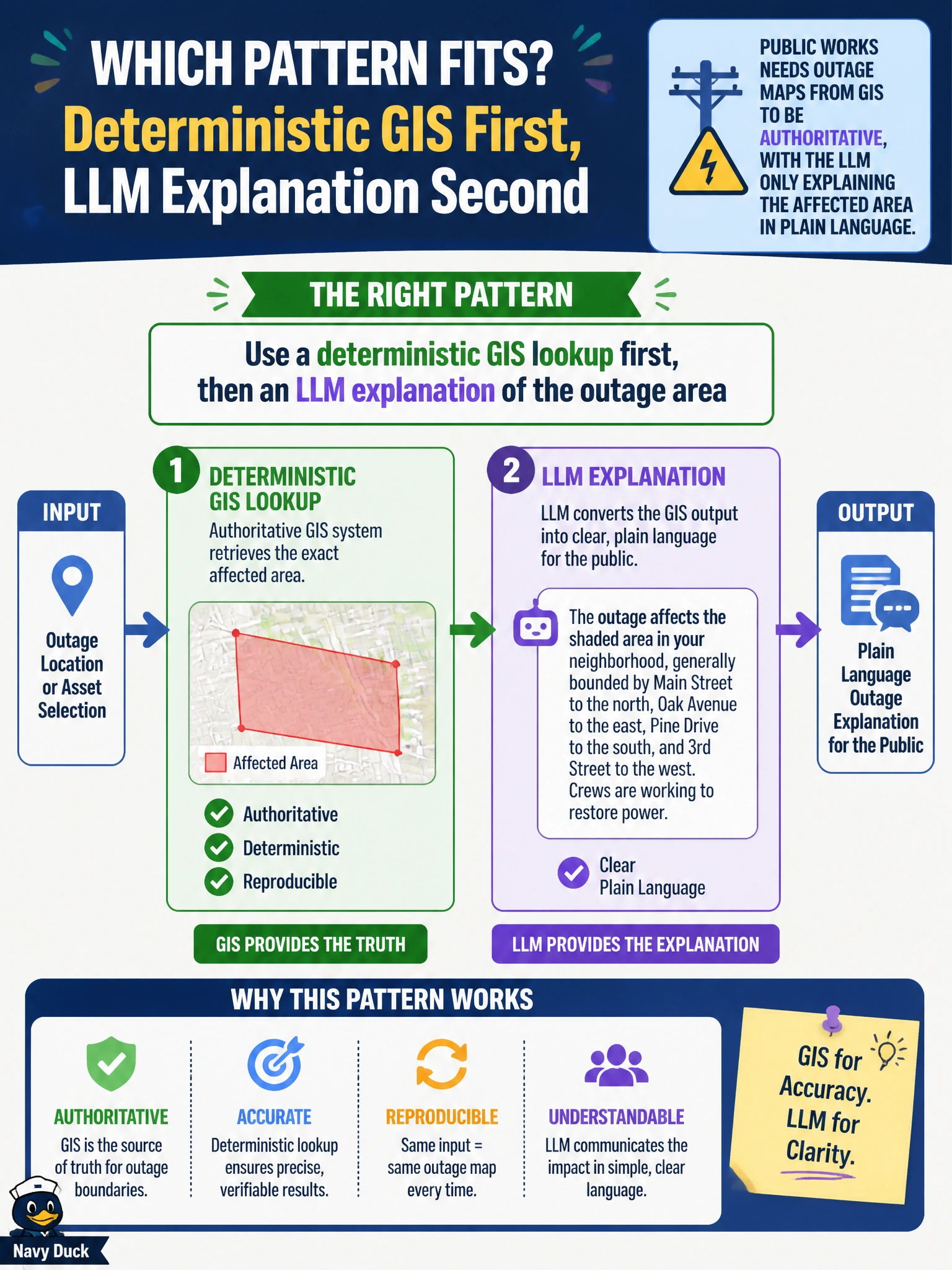
Short Explanation
The map decides where the outage is; the LLM just talks about it like a clear field briefing. Run the GIS lookup first, then let the model explain the area in plain language. If you rely on vector similarity first, a GIS cache first, or a probabilistic GIS lookup, you'll miss the live authoritative area, and that's not utility-grade.
Full Explanation
Public works that needs outage maps from GIS to be authoritative, with the LLM only explaining the affected area in plain language, should use a deterministic GIS lookup first, then an LLM explanation. Geometry and service area come from GIS; the model does not invent polygons. After the lookup returns the authoritative outage area, the LLM translates that result into clear resident language. That pattern keeps spatial truth deterministic and communication generative.
Using a vector similarity search first, then an LLM explanation of the outage area, fails because similarity search is approximate and retrieves by embedding closeness rather than by authoritative outage lookup, so the explained area is not deterministically tied to the GIS system of record. Using a deterministic GIS cache first, then an LLM explanation of the outage area, fails because the cache may hold stale polygons rather than the live authoritative lookup result, so the explained area may not reflect the current outage. Using a probabilistic GIS lookup first, then an LLM explanation of the outage area, fails because a probabilistic lookup introduces uncertainty and estimation rather than deterministic authoritative retrieval, so the explained area is not guaranteed to match the GIS system of record.
Exam caveat: for civic outage communication, GIS is authoritative for where; the LLM is for explaining that GIS result, not searching by vector similarity first, relying on a deterministic GIS cache first, or using a probabilistic GIS lookup instead of a deterministic lookup.
Operational check: call GIS first for outage polygons/areas, pass structured results into the LLM explanation step, block vector similarity searches, deterministic GIS cache-first retrievals, or probabilistic GIS lookups, and spot-check explanations against the live outage map before public release.
Prefer to study offline? Printable PDF study book + test engine ($7.50, unofficial). These questions stay free here.