
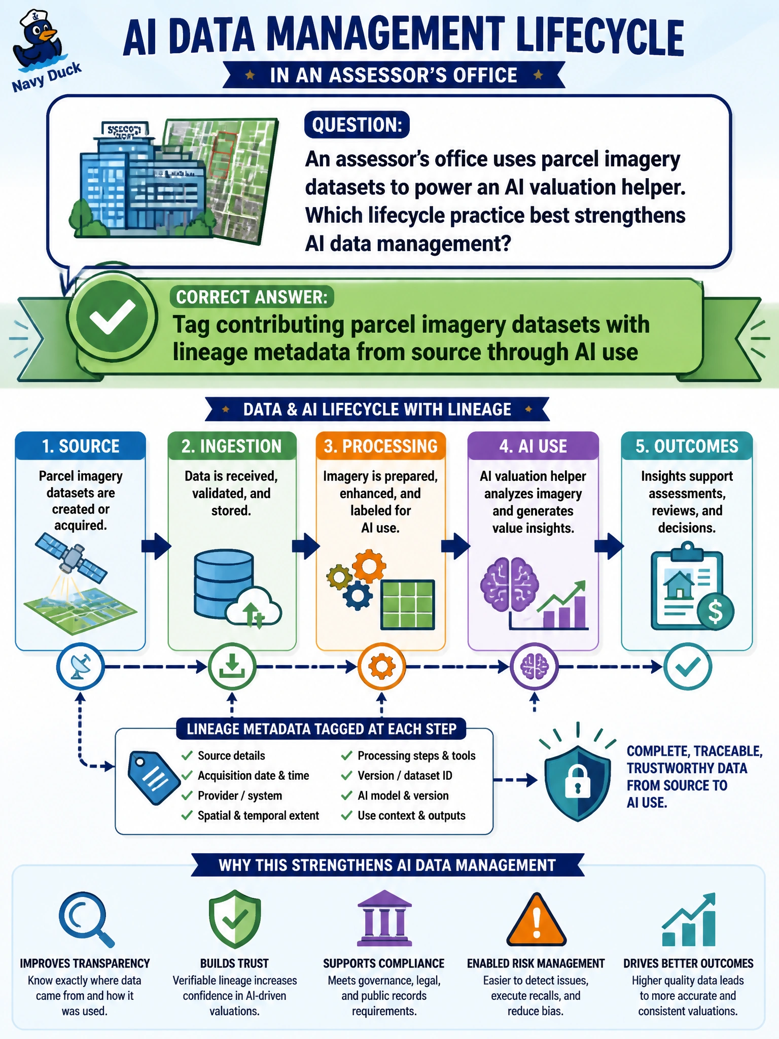
An assessor’s office uses parcel imagery datasets to power an AI valuation helper. Which lifecycle practice best strengthens AI data management?
Select an answer to reveal the explanation.
Short Explanation
Lineage is the breadcrumb trail from the aerial photo to the valuation helper. Tag where parcel imagery came from and how it feeds the model. When someone asks “why that number?”, you can follow the trail instead of guessing.
Full Explanation
Assessor AI data management is strengthened when contributing parcel imagery datasets are tagged with lineage metadata from source through AI use. Lineage connects the aerial or street-level image to collection date, sensor or vendor source, transformations, and the valuation helper that consumes it, enabling contestability, bias investigation, and recall if a source is withdrawn. Deleting lineage so appraisers cannot second-guess inputs undermines due process and quality control for property valuations that affect residents. Allowing staff to overwrite imagery sources without recording provenance breaks the audit trail and can silently change model behavior. Relying solely on the model’s confidence score substitutes a statistical self-report for dataset accountability; confidence does not identify which imagery drove an outlier valuation. Exam caveat: lineage should cover third-party imagery licenses and refresh cadence, because stale or mislicensed parcels create both accuracy and legal risk. Operational check: require lineage fields on each imagery dataset (source, date, transform pipeline, consuming model), block unmarked overwrites in the feature store, and test that a valuation challenge can trace back to a specific image batch.
Prefer to study offline? Printable PDF study book + test engine ($7.50, unofficial). These questions stay free here.